What is recorded here
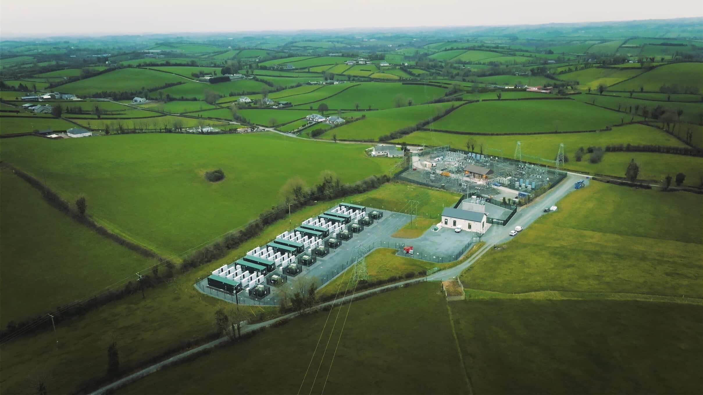
Located on top of a drumlin. This monument is depicted on McCrea’s map of County Monaghan (1793). It is also depicted as a large subcircular field (dims c. 105m E-W; c. 85m N-S) defined by curving field banks and described as a ‘fort’ in gothic lettering on the 1834 edition of the OS 6-inch map and as an equally large hachured feature on the 1907 edition. This is a raised subcircular grass-covered area (dims 105m E-W; 85m N-S) defined by an earthen bank (at N: Wth 2.8m; int. H 0.3m; ext. H 2.1m) and hedge but the perimeter NW-E-SE was removed and the interior levelled in 1983.
The above description is derived from the published 'Archaeological Inventory of County Monaghan' (Dublin: Stationery Office, 1986). In certain instances the entries have been revised and updated in the light of recent research.
Date of revision: 17 July 2007
Revised by: Michael Moore
Lisdrumdoagh fort is a ringfort situated on a drumlin, likely dating to the early medieval period. It appears on McCrea’s 1793 map of County Monaghan and is associated with traditional beliefs in fairy inhabitants, common to many such sites in Irish folklore.
The monument record does not grant public access. Check the route and ask the landowner before entering private land.
- What survives
- Recorded monument
Places near here
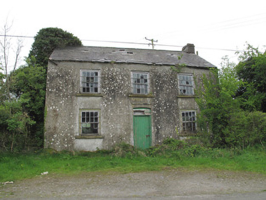 Killymarly National Schoolschool · 805 yd
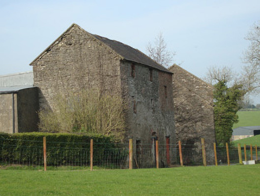 Dromore Corn Millmill (water) · 1615 yd
 IndicatedFairy fort / earthen ringfort · 1.3 mi
 Caldwells' WoodWood · 1.3 mi
 CarnCairn, unclassified · 1.4 mi
 Castleshane WaterfallWaterfall · 1.5 mi
 Liscarney WoodWood · 1.6 mi
 Monaghan County MuseumMuseum · 2.3 mi
 Bawn in Roosky (monaghan By., Monaghan Par.)Bawn · 2.3 mi
 Rossmore MonumentMemorial · 2.3 mi
 Banba GiantHeritage attraction · 3.5 mi
 Battle of ClontibretBattlefield · 3.9 mi
Other information
Photo: Credit not shown in the picture search · Rights wording not checked; contact us if this picture should be removed