What is recorded here
That is the name of this place. The story above and the saved story agree on that much. The facts are limited, but they are clear. What is missing is not hidden. It is not known. To answer honestly, I must say that the facts are not complete and ask for the missing part. I will not fill the hole with invention.
An almost rectangular raised area (int. dims. 26m E-W; 26m N-S) enclosed by an earthen bank. The unusual plan of the site is probably due to its incorporation into the field boundary. The bank is very slight from N-NE-ENE. Original entrance not recognisable.
The above description is derived from the published 'Archaeological Inventory of County Cavan' (Dublin: Stationery Office, 1995). In certain instances the entries have been revised and updated in the light of recent research.
Date of upload/revision: 22 December 2008
The monument record does not grant public access. Check the route and ask the landowner before entering private land.
- What survives
- Recorded monument
Places near here
 St Mary's Roman Catholic Churchchurch/chapel · 490 yd
 Enclosure in OuleyEnclosure · 762 yd
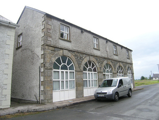 Humphry's Parochial Hallmarket house · 1045 yd
 Garden IsleIslet · 1522 yd
 Ballyhaise Ho.Castle, unclassified · 1591 yd
 Agroforestry plotForest · 1663 yd
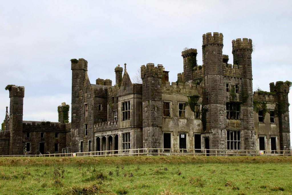 CastleCastle, unclassified · 1733 yd
 Cross FortsArchaeological place · 1740 yd
 Oak WoodForest · 1.1 mi
 CorgarveMountain / peak · 1.4 mi
 ArdamaghMountain / peak · 2.0 mi
 Giants GraveArchaeological place · 2.6 mi