What is recorded here
Situated on the summit of a high ridge, in pasture, with commanding views in all directions. Monument described in 1971 and 1976 as a large circular-shaped area enclosed by a bank, a counterscarp embankment, an intervening fosse and an outer bank. The inner bank of earth and stone is set on a counterscarp embankment from NE-E-S-W. There is a well-defined intervening fosse which is enclosed on the exterior by a modern wall from SE-S-W. The remains of an outer bank are visible from W-N-E-SE and it has been reused as a townland boundary from SE-S-W. There is a well-preserved entrance gap and a corresponding causeway at SE. The interior has a N-facing slope and is uneven with natural rises. A house site (WM023-079001-) is visible in E quadrant, irregular-shaped depressions to the immediate W and N are of unknown significance. Outline of monument clearly visible on oblique aerial photographs taken 12/07/1966 and 20/07/1970 (CUCAP AOY057; BDU061).
See attached plan and profile of monument surveyed and drawn by the ASI.
Compiled by Alison McQueen, Vera Rahilly and Caimin O’Brien.
Date of upload: 29 July 2019
The monument record does not grant public access. Check the route and ask the landowner before entering private land.
- What survives
- Recorded monument
Places near here
 CastleCastle, unclassified · 953 yd
 OutlinedEnclosure · 988 yd
 gates/railings/wallsgates/railings/walls · 1140 yd
 Enclosure in MoyvoughlyEnclosure · 1352 yd
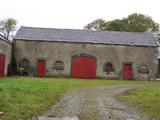 Moyvoughly Housestables · 1.1 mi
 Site of Lissanode CastleCastle, unclassified · 2.0 mi
 Japanese pagoda treeJapanese pagoda tree · 2.1 mi
 Dún na Sí Heritage CentreMuseum · 3.9 mi
 Dún na SíMuseum · 3.9 mi
 Charles BianconiMemorial · 4.0 mi
 Moate HillMountain / peak · 4.1 mi