What is recorded here
Fairy fort in Raheen, County Limerick: a 25-metre embanked ring hidden under a working farmyard, recorded on the 1923 map but later levelled. The stones may have marked a boundary, a shrine or a child’s climbing hill before men called it fairy and forgot it. Forgetting is not the same as losing; the shape still lives in the tilt of the ground and the way shadow gathers there at dusk.
Contained within farmyard complex of Raheen House. Monument, depicted as embanked circular enclosure (diam. c. 25m) on 1923 OS 6-inch map, has been levelled. Area of site now covered by farmyard.
Compiled by: Denis Power
Date of upload: 26 August 2011
The monument record does not grant public access. Check the route and ask the landowner before entering private land.
- What survives
- Recorded monument
Places near here
 Lissamota CastleCastle · 888 yd
 Burial GroundBurial ground · 1398 yd
 Dromard Housecountry house · 1725 yd
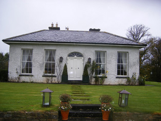 Fort William Housecountry house · 1.1 mi
 Burial Gd. for ChildrenChildren's burial ground · 1.1 mi
 Castle (in ruins)Castle, tower house · 1.3 mi
 Flat cemetery in Kiltenan SouthFlat cemetery · 2.1 mi
 Famine stoneMemorial · 2.6 mi
 KnockfeerinaMountain / peak · 3.0 mi
 Kinnoor WellSpring · 3.6 mi
 LaghtpatrickSpring · 3.7 mi
 European ashEuropean ash · 4.0 mi