What is recorded here
Magic and myth may have lived inside the circular fort, but people also built and used the place. The fort stands in open farmland, and its boundary still marks the shape of the old earthworks. What is gone from the site has not gone from the world. It has changed form, moved into life, and waited to be recognised.
Raised circular area (int. diam. c. 24m) enclosed by a much-denuded low earthen bank which has been modified and incorporated into the field boundary from SSE-S-WSW. Original entrance not recognisable.
The above description is derived from the published 'Archaeological Inventory of County Cavan' (Dublin: Stationery Office, 1995). In certain instances the entries have been revised and updated in the light of recent research.
Date of upload/revision: 22 December 2008
The monument record does not grant public access. Check the route and ask the landowner before entering private land.
- What survives
- Recorded monument
Places near here
 IndicatedHoly well · 279 yd
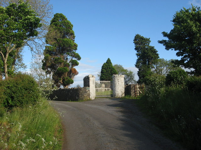 Grave YardGraveyard · 295 yd
 CornasheskMountain / peak · 984 yd
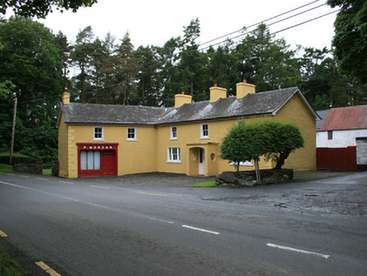 P. Morganfarm house · 1116 yd
 EnaghMountain / peak · 1220 yd
 Ardlow National Schoolschool · 1.0 mi
 Ramor Aontaithe C.L.G. Dolan ParkMemorial · 1.6 mi
 Sessile OakSessile Oak · 1.6 mi
 RahardrumCastle, unclassified · 1.7 mi
 The Big Man's GraveArchaeological place · 1.7 mi
 Rahardrum Sand BankWood · 1.7 mi
 Carraig-na-SasanacNamed rock · 1.8 mi