What is recorded here
On a gentle W-facing slope in pasture. A raised circular area (diam. c. 27m) defined by a low scarp (H 0.5m) from S-W-NE. From NE-ENE, although levelled, the outline of the perimeter is still identifiable but from E-SE-S no visible surface traces survive. There is no trace of a fosse and the original entrance is not recognisable. A report in 1976 (SMR file) recorded areas of outcropping rock within the interior at NW and E.
Compiled by: Patrick F. O'Donovan
Date of upload: 26 August 2011
This remains an important historical record, but the official description says the monument is no longer visible or has been destroyed. The monument record does not grant public access. Check the route and ask the landowner before entering private land.
- What survives
- No visible remains or recorded as destroyed
Places near here
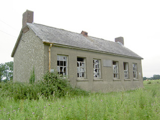 Saint Brigid's National Schoolschool · 267 yd
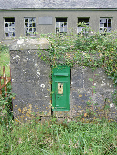 post boxpost box · 283 yd
 FortsFairy fort / earthen ringfort · 1219 yd
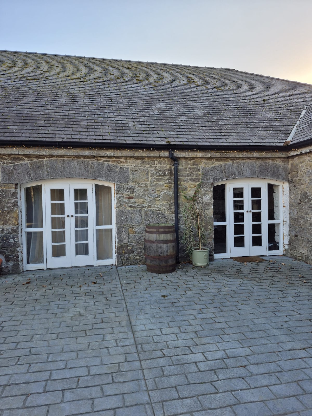 Enclosure in Bawn (moydow By.)Enclosure · 1.2 mi
 Bawn Castle & NunneryHouse, fortified house · 1.3 mi
 Oldtown CopseWood · 1.9 mi
 Oldtown DemesneForest · 1.9 mi
 Bawn in CastlereaBawn · 2.1 mi
 National Famine WayWalking route · 2.2 mi
 Graveyard in Curry (ardagh By., Coolamber Ed)Graveyard · 3.4 mi
 First World War MemorialMemorial · 3.7 mi
 Saint Mel's CathedralCathedral · 3.8 mi