What is recorded here
Fairy fort / earthen ringfort in Quigaboy is a fairy fort or earthen ringfort in Quigaboy, County Sligo, Ireland. The raised circular area measures 25 metres from northeast to southwest and sits on a low rise in otherwise lowlying pasture. A low bank encloses the northwest and south sections, though the western half has been levelled and the original entrance is no longer recognisable. The site remained unmarked on the 1837 edition of the OS 6-inch map.
Not marked on the 1837 edition of the OS 6-inch map. Situated on a low rise in otherwise lowlying pasture. Raised circular area (diam. 25m NE-SW) enclosed at NNW–S by a low bank (Wth. 3.3m; H 0.7m). Bank has been levelled on the W half of the rath. Original entrance not recognisable.
Compiled by: Patrick F. O'Donovan
Date of upload: 19 January 2011
The monument record does not grant public access. Check the route and ask the landowner before entering private land.
- What survives
- Recorded monument
Places near here
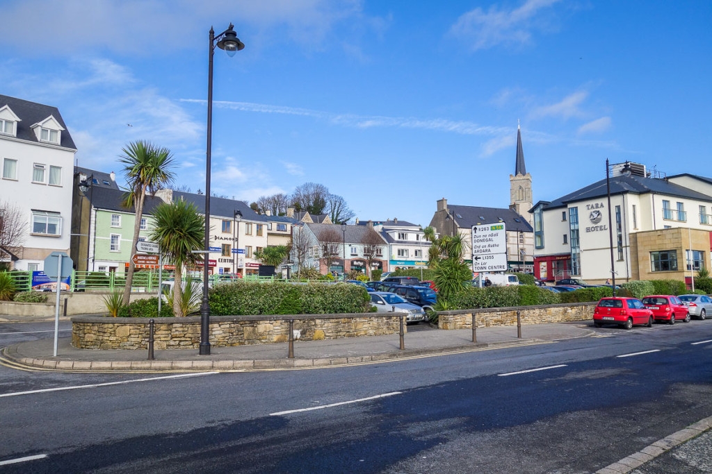 IndicatedFairy fort / earthen ringfort · 357 yd
 Enclosure in QuigabarEnclosure · 822 yd
 Castle FirbisCastle, tower house · 1651 yd
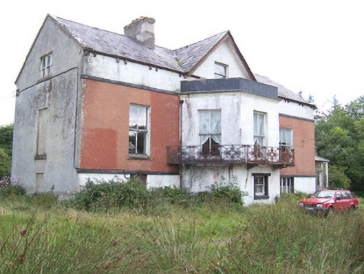 Kilglass Househouse · 1.1 mi
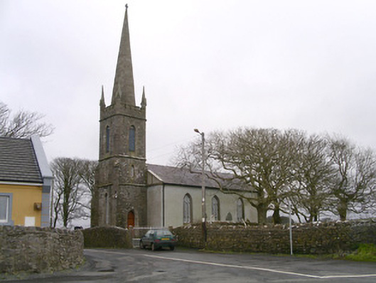 Kilglass Churchchurch/chapel · 1.2 mi
 CastleCastle, unclassified · 1.4 mi
 Rathlee HeadHeadland · 2.2 mi
 Wild Atlantic Way: Inishcrone PierVisitor information · 2.6 mi
 Grave of the Black PigArchaeological place · 3.7 mi
 Enniscrone BeachBeach / strand · 3.7 mi
 The Black PigMemorial · 3.8 mi
 Bunowna PointHeadland · 4.8 mi