Places near here
Photo credits
- Mick Garratt, commons.wikimedia.org
- National Inventory of Architectural Heritage
- Mick Garratt, Wikimedia Commons · CC BY-SA 2.0
- Florentchevallier, Wikimedia Commons · CC BY-SA 4.0
- Golfing in Ireland; photographer not stated, Source publisher
- Colin Park, Geograph · CC BY-SA 2.0
 Enniscrone/Kilglass GAA pitchGAA ground · 1464 yd
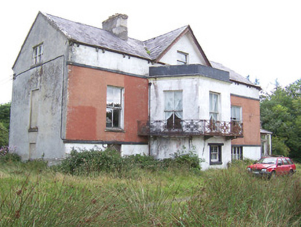 Kilglass HouseHouse · 1.3 mi
Explorer Tom Kilglass House had a fox take charge of the kitchen last winter and it never gave up the position since. The cast-iron…
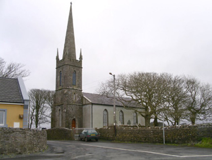 Kilglass ChurchChurch/chapel · 1.4 mi
Explorer Tom Kilglass Church in Kilglass is locked in a bitter feud with the rain, claiming it can handle the weather better than…
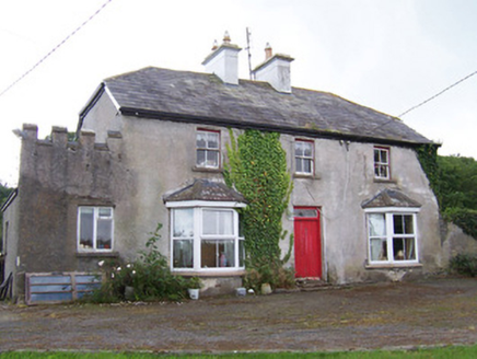 MeadowsideHouse · 1.6 mi
Explorer Tom Meadowside in Kilglass has a half-hipped roof that Saint Patrick would have called 'a bit much' and 'very Irish'. It’s…
 St. Patrick's CemeteryCemetery · 1.8 mi
Explorer Tom St. Patrick's Cemetery is bragging about surviving a storm so fierce it blew a cow into the sky, though I suspect that…
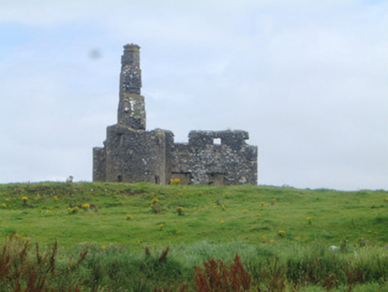 Inishcrone CastleCastle/fortified house · 2.8 mi
Explorer Tom Inishcrone Castle would teach history if it had to, but it prefers napping. Corner turrets are fancy for what is…
 Wild Atlantic Way: Inishcrone PierVisitor information · 2.8 mi
Explorer Tom Inishcrone Pier looks like it’s plotting an escape plan, possibly because it’s tired of being just a sign for people…
 pier/jetty2.8 mi
Explorer Tom The Pier in Carrowhubbuck South is where the local rabbits go to judge your fishing technique from the shadows with…
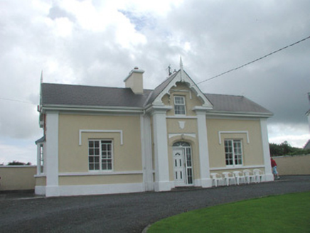 South LodgeHouse · 2.9 mi
Explorer Tom South Lodge in Carrowhubbuck South is a seaside villa with splendid views of the beach and a grumpy nature. Its least…
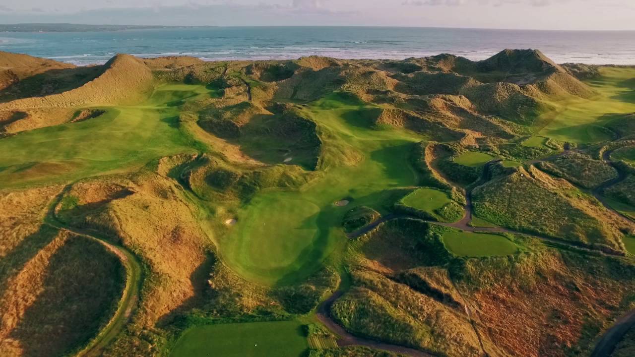 Enniscrone Golf ClubGolf course · 3.7 mi
 KnockaffertaghMountain / peak · 25 mi
Explorer Tom Knockaffertagh’s least favourite visitor is definitely anyone who suggests taking a selfie on top because it ruins the…
 BirreencorraghMountain / peak · 25 mi
Explorer Tom Birreencorragh rises 698 metres in Mayo’s Nephin Beg range, where the hills seem to have agreed that visitors should…
More archaeology and monuments in County Sligo · All of County Sligo

What do you know about this place?Tap to add a comment or ask a question