What is recorded here
Quaybaun holds a broken circular fort where quarrying and field banks have cut through ancient earth. The remaining slope and hidden passage suggest people once shaped the land before forgetting its name. What is left feels less like a monument and more like a warning about how quickly human certainty can be lost.
On an E-facing slope in grassland. Poorly preserved subcircular rath (E-W 45m) defined by two banks-scarps and an intervening fosse. The inner bank is present only at SW, elsewhere a scarp forms the enclosing element. A field bank cuts the monument at SE and S and no visible surface trace survives to SE of it. Quarrying has encroached upon the enclosing elements at NE. There is a probable Man-made underground passage (GA029-157001-) in the interior.
The above description is derived from the published 'Archaeological Inventory of County Galway Vol. II - North Galway'. Compiled by Olive Alcock, Kathy de hÓra and Paul Gosling (Dublin: Stationery Office, 1999).
Date of upload: 05 August 2010
The monument record does not grant public access. Check the route and ask the landowner before entering private land.
- What survives
- Recorded monument
Places near here
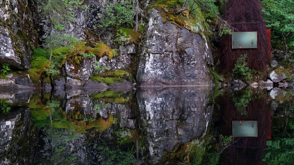 Enclosure in SlievedarraghEnclosure · 440 yd
 Man-made underground passageMan-made underground passage · 854 yd
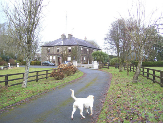 Mayfield Househouse · 1095 yd
 monumentmonument · 1519 yd
 Castle (in ruins)Castle, tower house · 1.4 mi
 CastleCastle, unclassified · 1.8 mi
 European ashEuropean ash · 2.6 mi
 Mass RockNamed rock · 4.3 mi
 KnockmaaWood · 6.8 mi
 Kilcoona Round TowerHeritage attraction · 11 mi
 Ballinduff BayBay · 13 mi
 LisseenyFairy fort / earthen ringfort · 1713 yd