What is recorded here
Located at the N end of the summit of a N-S drumlin ridge. This was described in 1968 as a circular overgrown area (diam. c. 35m) defined by an earthen bank (at SE: Wth of base 4.5m; Wth of top 1.3m; int. H 0.7m; ext. H 1.9m) with a complete outer fosse (at SE: Wth of top 2.3m; ext. D 0.9m). The entrance (Wth of base 2.8m) and causeway (Wth of top 1.8m) were at SE. The scrub had been removed by 1984 and the monument reduced to a low grass-covered mound, but its outline could still be traced. (McDermott 2010, 399-400)
The above description is derived from the published 'Archaeological Inventory of County Monaghan' (Dublin: Stationery Office, 1986). In certain instances the entries have been revised and updated in the light of recent research.
Date of revision: 29 August 2017
The monument record does not grant public access. Check the route and ask the landowner before entering private land.
- What survives
- Recorded monument
Places near here
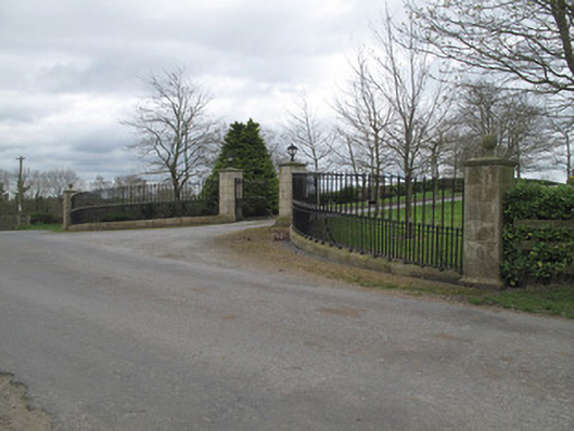 Fort Johnsongate lodge · 933 yd
 Enclosure in StramoreEnclosure · 1013 yd
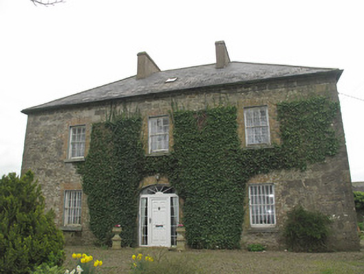 Portinaghy Househouse · 1019 yd
 Crannog in Cornacreeve (trough By.)Crannog · 1055 yd
 Emyvale Heritage TrailVisitor information · 1.1 mi
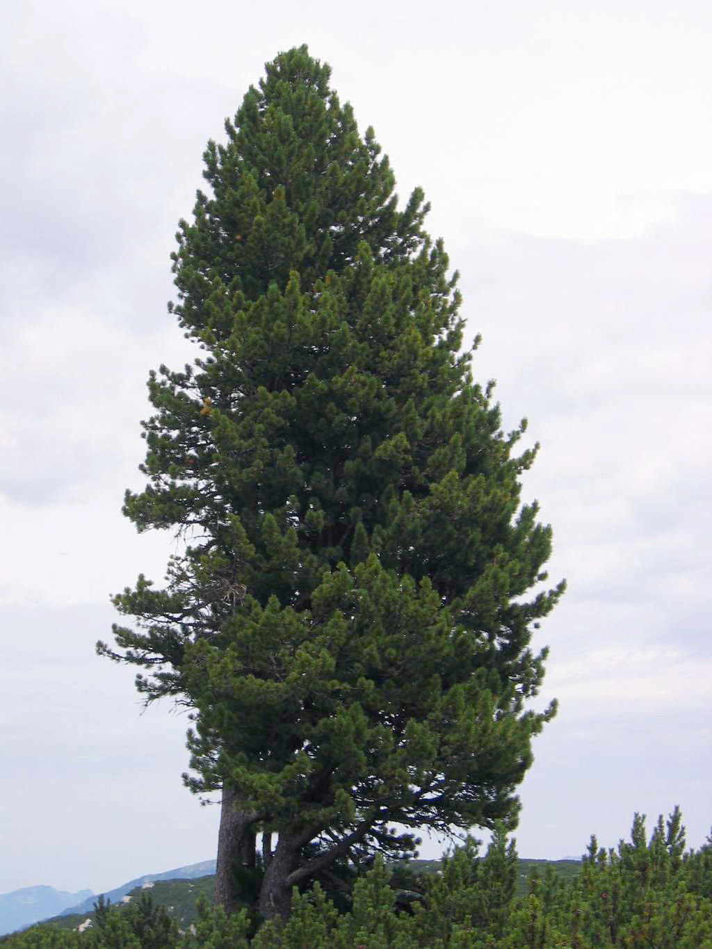 Swiss PineSwiss Pine · 2.1 mi
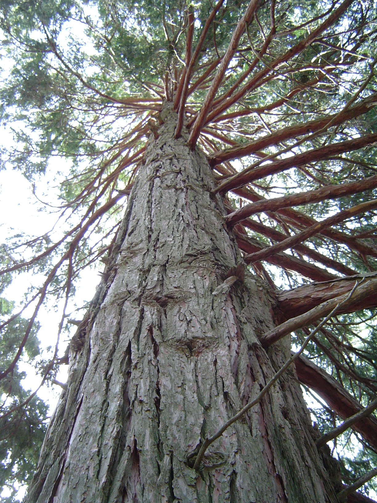 California Incense-cedarCalifornia Incense-cedar · 2.2 mi
 Harry LaveryMemorial · 2.6 mi
 St. Muadain's WellSpring · 4.5 mi
 Monaghan County MuseumMuseum · 5.3 mi
 Rossmore MonumentMemorial · 5.5 mi
 Bawn in Roosky (monaghan By., Monaghan Par.)Bawn · 5.6 mi