
What is recorded here
Situated in boggy ground on the shore at the NW angle of the triangular Tully Lough (dims c. 300m NNE-SSW; c. 140m WNW-ESE), although the lake is represented as larger (dims c. 375m NNE-SSW; c. 200m WNW-ESE) on the 1834 edition of the OS 6-inch map. It is visible as a slightly raised circular and grass-covered mound of earth (diam. 20m E-W; 18m N-S) with ash and charcoal in evidence.
The above description is derived from the published 'Archaeological Inventory of County Monaghan' (Dublin: Stationery Office, 1986). In certain instances the entries have been revised and updated in the light of recent research.
Date of revision: 29 August 2017
The monument record does not grant public access. Check the route and ask the landowner before entering private land.
- What survives
- Recorded monument
Places near here
 Fulacht fia in CarrigansFulacht fia · 806 yd
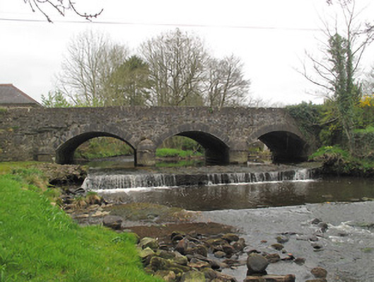 bridgebridge · 1165 yd
 Cist in Scarnageeragh or EmyvaleCist · 1379 yd
 Saint Patrick's Catholic Churchchurch/chapel · 1476 yd
 Emyvale Heritage TrailVisitor information · 1520 yd
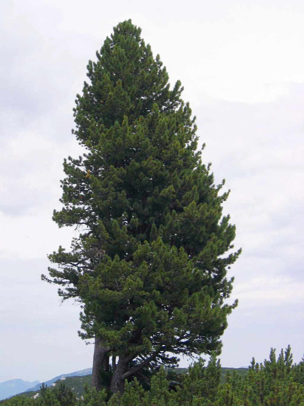 Swiss PineSwiss Pine · 2.7 mi
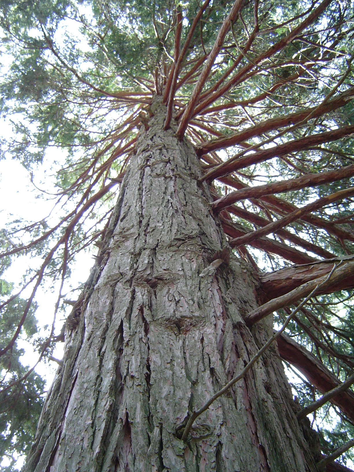 California Incense-cedarCalifornia Incense-cedar · 2.7 mi
 Harry LaveryMemorial · 3.2 mi
 St. Muadain's WellSpring · 4.2 mi
 Coolberrin HillMountain / peak · 5.1 mi
 Monaghan County MuseumMuseum · 5.3 mi
 Rossmore MonumentMemorial · 5.5 mi
Other information
Photo: Credit not shown in the picture search · Rights wording not checked; contact us if this picture should be removed