What is recorded here
Half a kilometre of memory remains in a slight rise and stony western slope. The fort gave up its shape to ploughs and fences, yet it still marks the ground where people stood before maps existed.
In pasture on gentle W-facing slope; extensive outlook in all directions. Hachured as univallate enclosure on 1842 OS 6-inch map; now levelled. Circular area (c. 36m N-S; c. 34m E-W) defined by slight rise with depression E->W, least visible to E; bank incorporated into earthen field fence NNW->ENE. Interior stony, sloping to W.
The above description is derived from the published 'Archaeological Inventory of County Cork. Volume 2: East and South Cork' (Dublin: Stationery Office, 1994). In certain instances the entries have been revised and updated in the light of recent research.
Date of upload/revision: 14 January 2009
The monument record does not grant public access. Check the route and ask the landowner before entering private land.
- What survives
- Recorded monument
Places near here
 IndicatedFairy fort / earthen ringfort · 1246 yd
 Enclosure in Ballinlegane (barrymore By.)Enclosure · 1310 yd
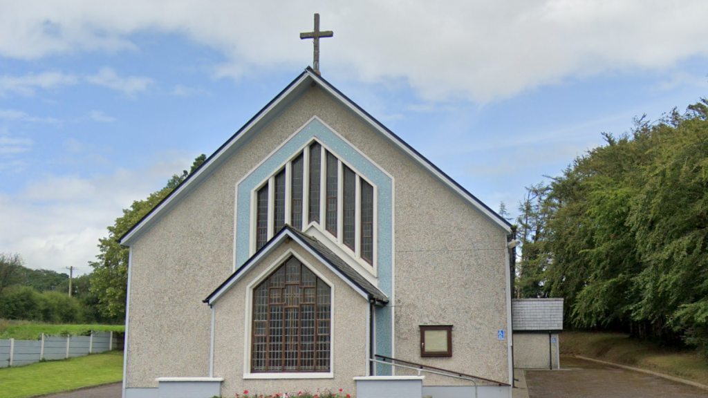 Church (in Ruins)Church · 1618 yd
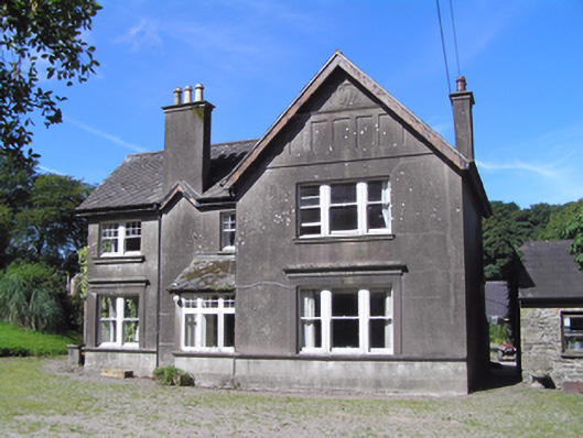 Ballindeenisk Househouse · 1.4 mi
 Castle (Site of)Castle, unclassified · 1.5 mi
 Graveyard in Killuntin NorthGraveyard · 2.6 mi
 Graveyard in GlenvilleGraveyard · 3.0 mi
 Castle (in Ruins)Castle, tower house · 3.8 mi
 Moanbaun ForestForest · 4.1 mi
 Devonshire's HillMountain / peak · 4.6 mi
 Monananig WoodsWood · 4.9 mi
 Cork WalksVisitor information · 8.1 mi