
What is recorded here
In tillage, on high ground on a gentle S-facing slope with extensive views. The soilmark of a roughly square enclosure is visible on an aerial photograph taken on 20 June 1993 of the proposed Glanmire-Watergrasshill Bypass (BKS Surveys Ltd no 26 049). A lighter band of soil enclosing a square area (c. 40 x 40m) forms the soilmark. A high crop of barley was growing in the field on the day of visit and there was no visible trace of the enclosure at ground level.
The above description is derived from 'The Archaeological Inventory of County Cork. Volume 5' (Dublin: Stationery Office, 2009).
Date of upload: 22 December 2009
This remains an important historical record, but the official description says the monument is no longer visible or has been destroyed. The monument record does not grant public access. Check the route and ask the landowner before entering private land.
- What survives
- No visible remains or recorded as destroyed
Places near here
 IndicatedFairy fort / earthen ringfort · 438 yd
 Fulacht fia in Ballinlegane (barrymore By.)Fulacht fia · 964 yd
 Castle (Site of)Castle, unclassified · 1363 yd
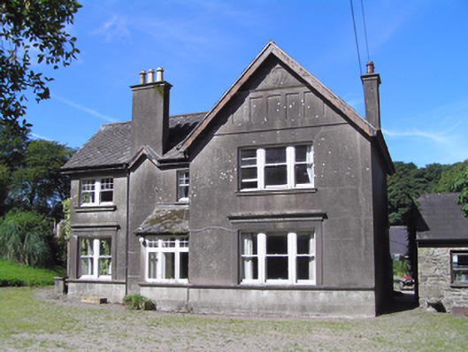 Ballindeenisk Househouse · 1.1 mi
 Trantstown Bridgebridge · 1.2 mi
 Sarsfields Court (in Ruins)Castle, unclassified · 3.3 mi
 Gleeson MemorialMemorial · 3.3 mi
 Graveyard in Killuntin NorthGraveyard · 3.3 mi
 Moanbaun ForestForest · 3.7 mi
 Devonshire's HillMountain / peak · 4.5 mi
 Monananig WoodsWood · 4.6 mi
 Murphy's RockViewpoint · 6.0 mi
Other information
Photo: Credit not shown in the picture search · Rights wording not checked; contact us if this picture should be removed