What is recorded here
Fairy fort in Portnard, County Limerick: a 17m earthen ring on a wet rise, scarped 1.1m high from south to northeast, truncation elsewhere suggesting boundaries or loss. It faces every road and field, as if watching for return. People may have lived inside, or excluded others from inside. The earth still holds the shape of that choice.
Located in the SE corner of a field immediately N of a trackway and W of a drain, on a gentle rise in poorly-drained pasture, with good views in all directions. A roughly circular area (17m E-W; 15m N-S), defined by a scarped edge (Wth 6.7m; H 1.1m) from S to NE but otherwise truncated by field boundaries.
Compiled by: Denis Power
Date of upload: 1 July 2013
The monument record does not grant public access. Check the route and ask the landowner before entering private land.
- What survives
- Recorded monument
Places near here
 Portnard Housegate lodge · 588 yd
 CastleCastle, motte and bailey · 1207 yd
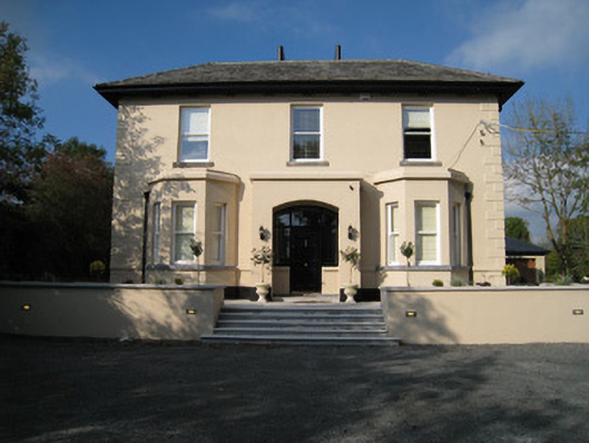 Dun-na-nDroicheadhouse · 1655 yd
 Ballynanure Grave YardBurial ground · 1.3 mi
 Mound in Cullenagh (owneybeg By.)Mound · 1.6 mi
 Slieve Felim WayWalking route · 2.4 mi
 Tower HillCastle, unclassified · 2.6 mi
 Sliev Felim WayVisitor information · 2.6 mi
 Graveyard in AbingtonGraveyard · 3.2 mi
 Slieve FelimMountain / peak · 3.2 mi
 Slieve Felim East TopMountain / peak · 3.7 mi
 ToberagaddySpring · 4.8 mi