What is recorded here
Pollamore Near holds a forgotten circular fort thirty-two metres across, its low embankment still visible beside a standing stone. A field boundary now cuts through the site, reducing the ancient shape to a faint northern curve and hiding its original entrance. The fort may have served as a dwelling, a boundary marker or a place of ritual, but human use has worn its purpose smooth. What remains is a subtle earthwork, waiting to be read rather than declared.
Not marked on any OS ed. Slightly raised circular area (diam. 32.8m) enclosed by a low embankment. Site is divided into unequal portions by a field boundary running ESE-WNW with only a very faint outline of the rath identifiable N of this. Original entrance not recognisable. A standing stone (CV025-102---) is situated immediately SSW of the site.
The above description is derived from the published 'Archaeological Inventory of County Cavan' (Dublin: Stationery Office, 1995). In certain instances the entries have been revised and updated in the light of recent research.
Date of upload/revision: 22 December 2008
The monument record does not grant public access. Check the route and ask the landowner before entering private land.
- What survives
- Recorded monument
Places near here
 The PlowMonument · 539 yd
 IndicatedFairy fort / earthen ringfort · 841 yd
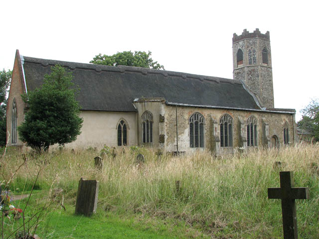 Old ChurchChurch · 985 yd
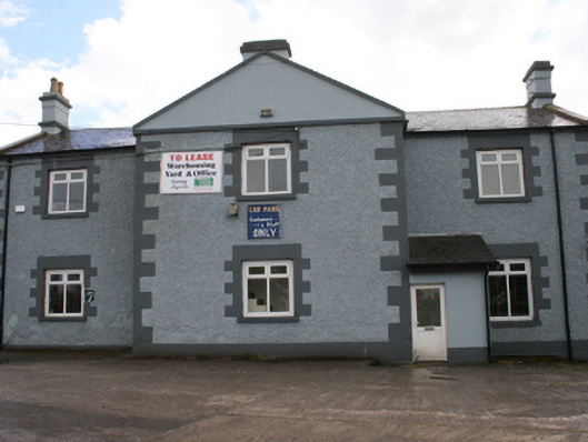 Cavan Schoolschool · 1709 yd
 Bawn in MoynehallBawn · 1.1 mi
 Aghalackan WestMountain / peak · 1.1 mi
 CastleCastle, unclassified · 1.1 mi
 GrottoWood · 1.3 mi
 Owen Roe O'Neill graveMemorial · 1.3 mi
 Aghalackan EastMountain / peak · 1.7 mi
 Carricknagore RockNamed rock · 2.0 mi
 Corgarran ForestForest · 2.7 mi