What is recorded here
Fairy fort in Pollamore Near is a raised oval area, internally 34.2m across, enclosed by an earthen bank and the remains of a fosse. Its original entrance is marked by a break in the bank with an accompanying causeway at the east. The shape suggests a place made for movement and return, where people may have entered, stayed, and left again across generations.
Raised oval area (int. diam. 34.2m) enclosed by an earthen bank and the remains of a fosse. Original entrance represented by break in bank with accompanying causeway at E.
The above description is derived from the published 'Archaeological Inventory of County Cavan' (Dublin: Stationery Office, 1995). In certain instances the entries have been revised and updated in the light of recent research.
Date of upload/revision: 22 December 2008
The monument record does not grant public access. Check the route and ask the landowner before entering private land.
- What survives
- Recorded monument
Places near here
 The PlowMonument · 652 yd
 IndicatedFairy fort / earthen ringfort · 935 yd
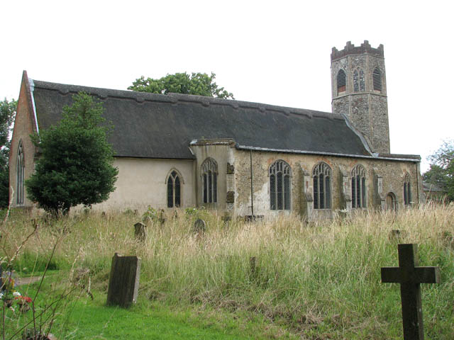 Old ChurchChurch · 1108 yd
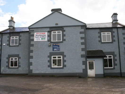 Cavan Schoolschool · 1570 yd
 Bawn in MoynehallBawn · 1649 yd
 CastleCastle, unclassified · 1.1 mi
 Aghalackan WestMountain / peak · 1.1 mi
 GrottoWood · 1.3 mi
 Owen Roe O'Neill graveMemorial · 1.3 mi
 Aghalackan EastMountain / peak · 1.8 mi
 Carricknagore RockNamed rock · 1.9 mi
 Corgarran ForestForest · 2.5 mi