What is recorded here
Situated in grassland on the N face of a prominent hill with good views of the surrounding countryside. A large circular shaped area (approx. diam. 81m N-S; 83m E-W) enclosed by two earthen banks and an intervening wide shallow fosse. The inner bank is substantial, but has been levelled from ENE-E-SE, and the fosse has been filled in from E-SE. The outer bank is best preserved on the N & S sides. Traces of cultivation ridges are visible running NNW-SSE across the interior. A field fence running ESE-WSW intersects the monument, and utilises the inner bank as part of the fence from ESE-S-WSW. The bank has been steepened and faced with dry stone walling where it has been used as a fence.
Compiled by: Frank Coyne and Caimin O'Brien
Date of upload: 24 August 2017
The monument record does not grant public access. Check the route and ask the landowner before entering private land.
- What survives
- Recorded monument
Places near here
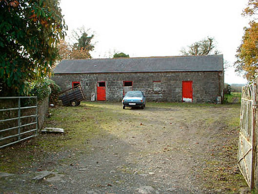 outbuildingoutbuilding · 317 yd
 IndicatedBawn · 779 yd
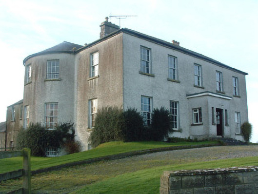 Mount Murray Housecountry house · 1329 yd
 Castle Quarter, Castle (in ruins)Castle, unclassified · 1356 yd
 Partially hachuredFairy fort / earthen ringfort · 1.1 mi
 Ecclesiastical enclosure in LenyEcclesiastical enclosure · 1.3 mi
 Carrickphilbin IslandIslet · 2.4 mi
 Baronstown ForestWood · 2.8 mi
 Horse-chestnutHorse-chestnut · 3.0 mi
 Srudarra IslandIslet · 3.1 mi
 Bridge Memorial (Kenna)Memorial · 3.2 mi
 Abbeyshrule AbbeyRuins · 8.8 mi