What is recorded here
Situated on a low rise, in relatively low-lying pasture, which is overlooked by higher ground to NW, N and E. Ringfort (WM026-064----) lies c. 160m to ENE. Annotated ‘Fort’ on the OS Fair Plan map and depicted as a roughly circular-shaped earthwork. Monument described in 1971 as no surface remains visible. Outline of levelled monument is not visible today on Digital Globe aerial photography.
Compiled by Alison McQueen, Vera Rahilly and Caimin O’Brien.
Date of upload: 02 October 2019
The monument record does not grant public access. Check the route and ask the landowner before entering private land.
- What survives
- Recorded monument
Places near here
 OutlinedFairy fort / earthen ringfort · 206 yd
 Carrick Lodgefarm house · 722 yd
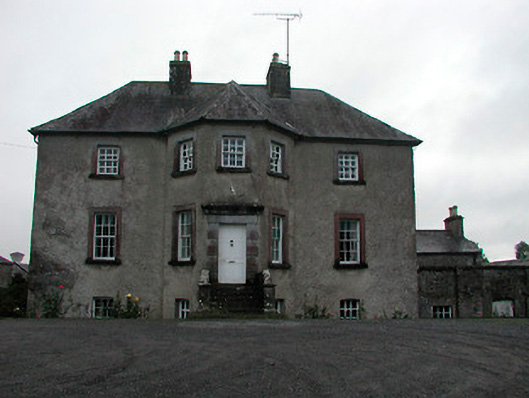 Anneville Housecountry house · 816 yd
 Enclosure in Carrick (fartullagh By.)Enclosure · 935 yd
 Castle in RuinsCastle, tower house · 1227 yd
 Mollie Moo's Pet FarmHeritage attraction · 1710 yd
 Belvedere house and gardensVisitor information · 1.1 mi
 Bawn in Simonstown (fartullagh By.)Bawn · 1.2 mi
 Blind IslandIslet · 1.7 mi
 Dysart IslandIsland · 2.7 mi
 WestmeathVisitor information · 6.8 mi
 Ardan WoodWood · 8.2 mi