What is recorded here
No visible fort remains at Castleconnell, only a hidden circular scar in flat pasture beside another ringfort. The land likely carried a small defended home, farm or boundary marker before trees closed over the bank and people stopped naming the place. What is missing is not nothing; it is the difference between a empty field and a place that once shaped the lives of the people who used it.
On flat pasture, with ringfort (LI006-010----) 75m to ENE. The site is described from cartographic and aerial photographic sources. Depicted on the 1897 ed. 25-inch OS map as a small circular-shaped area (approx. int. diam. 20m) enclosed by a bank with traces of an external fosse at SE. The monument is now overgrown with trees and the fosse is visible at SE as shown on Digital Globe orthoimages taken 2011-13.
See attached Google Earth orthoimages
Compiled by: Edmond O’Donovan
Date of upload: 10 July 2020
The monument record does not grant public access. Check the route and ask the landowner before entering private land.
- What survives
- Recorded monument
Places near here
 Enclosure in SallymountEnclosure · 491 yd
 Fulacht fia in GortnalahaghFulacht fia · 651 yd
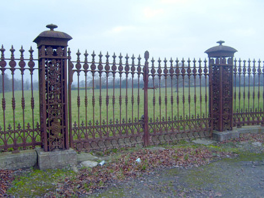 Hermitagedemesne walls/gates/railings · 830 yd
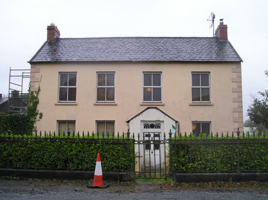 Ingoldsby Househouse · 847 yd
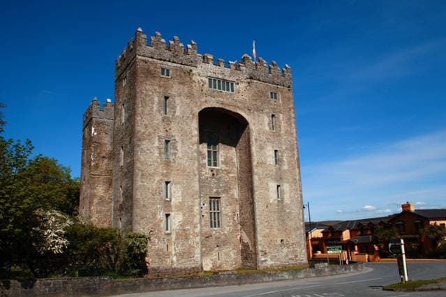 The Turret (in Ruins)Castle, unclassified · 1616 yd
 Castle ConnellRuins · 1721 yd
 Campus MapVisitor information · 3.4 mi
 Visitor CentreVisitor information · 3.4 mi
 Fountain SculptureHeritage attraction · 3.5 mi
 Old PumpHeritage attraction · 3.7 mi
 The Pollagh TrailNature reserve · 5.5 mi
 Graveyard in AbingtonGraveyard · 5.6 mi