What is recorded here
Fairy fort in Pallas, County Cork: a levelled earthen ringfort on a south-facing slope above the Blackwater River valley, still marked by a faint eastern arc. It stood large enough to hold a household, a herd or a hundred years of ordinary life, yet people called it a fairy fort because the boundary disappeared while the story refused to leave.
In pasture, on S-facing slope, overlooking Blackwater River valley. Depicted as hachured roughly circular enclosure (diam. c. 35m) on 1842 OS 6-inch map. Levelled; arc (C c. 27m) formed by slight scarp visible ENE->WSW. Probably one of three levelled ringforts recorded by Bowman (1934, 676) on lands of John Linehan, Andrew O'Callaghan and Joseph McCarthy.
The above description is derived from the published 'Archaeological Inventory of County Cork. Volume 4: North Cork' (Dublin: Stationery Office, 2000). In certain instances the entries have been revised and updated in the light of recent research.
Date of upload/revision: 14 January 2009
The monument record does not grant public access. Check the route and ask the landowner before entering private land.
- What survives
- Recorded monument
Places near here
 LisnapasteeBurial ground · 395 yd
 Gurteenkreen Castle (Site of)Castle, unclassified · 1048 yd
 Lombardstown Bridgebridge · 1519 yd
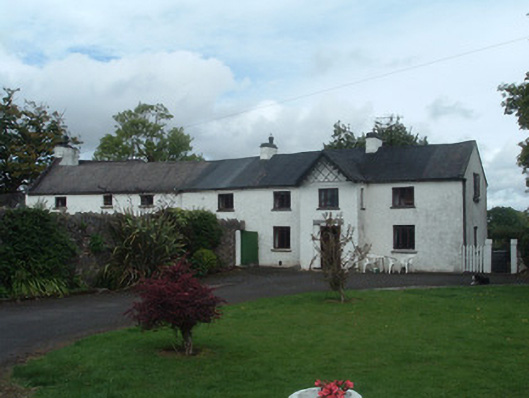 Gortmore Housecountry house · 1585 yd
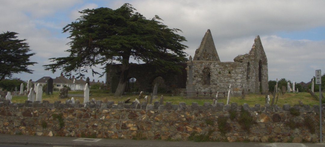 Burial ground in KilbarrahanBurial ground · 1.1 mi
 Mount HillaryMountain / peak · 2.2 mi
 Mount Hillary - Knightfield LoopWalking route · 2.3 mi
 Lohort CastleCastle, tower house · 2.4 mi
 Mount Hillary - Mount Hillary LoopWalking route · 2.6 mi
 Dromaneen CastleHeritage attraction · 3.0 mi
 St Fursey's WellSpring · 3.0 mi
 Graveyard in Ballygiblin (duhallow By.)Graveyard · 3.2 mi