What is recorded here
Fairy forts are not a separate kind of monument, though the name still flies ahead of the measurement. In Pallas the ground itself has spoken: a circular bench, a cut fosse, a level floor beneath grass. The ratio is human, the function is forgotten, the time is deep enough to swallow names. What is clear is that people shaped this slope, lived beside its edge, and left the fort waiting for interpretation.
In pasture, on SW-facing slope. Roughly circular area (27m N-S; 24m E-W) defined by a scarped edge with inner lip (int. H 0.15m; ext. H 1.8m), with an external fosse (D 0.85m; Wth 1.4m). Access to interior is via recently constructed ramp (Wth 4.4m) at NW. Level interior under pasture.
Compiled by: Denis Power
Date of upload: 26 August 2011
The monument record does not grant public access. Check the route and ask the landowner before entering private land.
- What survives
- Recorded monument
Places near here
 CastleCastle, unclassified · 567 yd
 Church (in ruins)Church · 982 yd
 Moated site in BallinruaneMoated site · 1077 yd
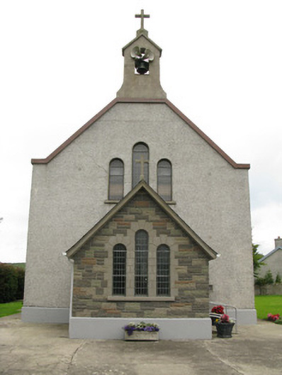 Saint Ita's Catholic Churchchurch/chapel · 1100 yd
 Garbally WellSpring · 1.2 mi
 BarrowBarrow, ring-barrow · 1.5 mi
 Mayne Ho.Castle, unclassified · 1.9 mi
 ToberhoranSpring · 2.0 mi
 National Co-op MuseumMuseum · 4.7 mi
 Famine stoneMemorial · 5.8 mi
 KnockfeerinaMountain / peak · 6.2 mi
 Ballagh MountainMountain / peak · 7.8 mi