What is recorded here
Mnemo recorded a separate fairy fort in Oldcastletown, but the evidence points to one and the same ring: a small earthwork on a gentle south-facing slope, drawn as a subrectangular enclosure in 1842 and as a roughly circular one about twenty-five metres across in later maps. It has been levelled into a saucer-shaped hollow, with a field fence to the east possibly built from part of the old bank. The fairy name is the familiar Irish way of pointing at a small abandoned human place, not a proven dwelling for fairy kings.
In pasture, on gentle S-facing slope. Depicted as subrectangular enclosure on 1842 OS 6-inch map; as hachured roughly circular enclosure (diam. c. 25m) on 1905 and 1936 OS 6-inch maps. Levelled; saucer-shaped hollow remains; field fence to E may incorporate part of bank.
The above description is derived from the published 'Archaeological Inventory of County Cork. Volume 4: North Cork' (Dublin: Stationery Office, 2000). In certain instances the entries have been revised and updated in the light of recent research.
Date of upload/revision: 14 January 2009
The monument record does not grant public access. Check the route and ask the landowner before entering private land.
- What survives
- Recorded monument
Places near here
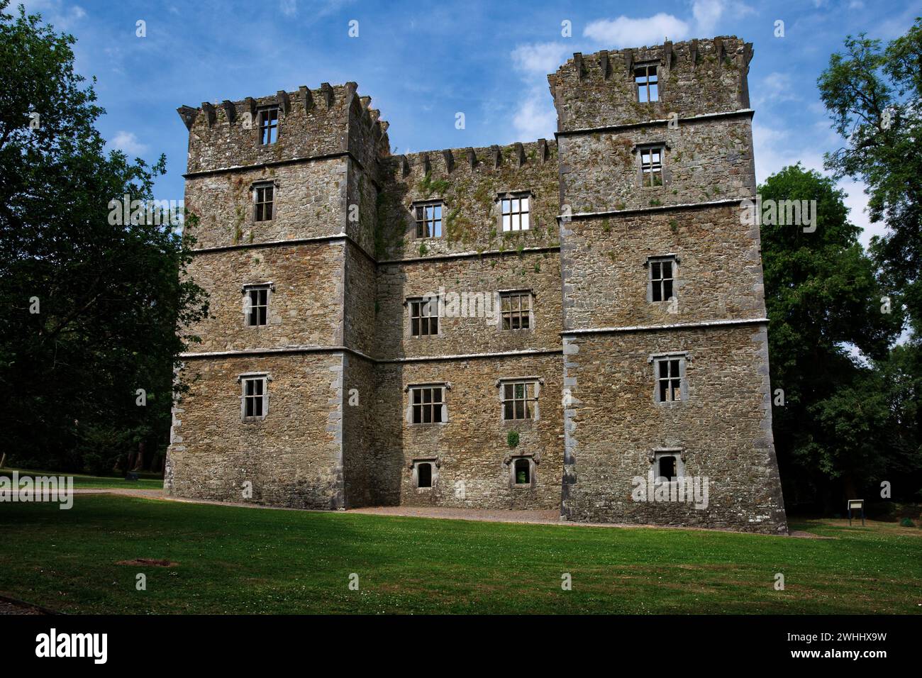 Man-made underground passage in OldcastletownMan-made underground passage · 257 yd
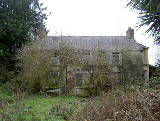 Oldcastletown Househouse · 461 yd
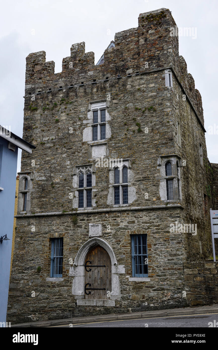 Fulacht fia in OldcastletownFulacht fia · 519 yd
 farmyard complexfarmyard complex · 1144 yd
 Castletown Castle (Site of)Castle, unclassified · 1269 yd
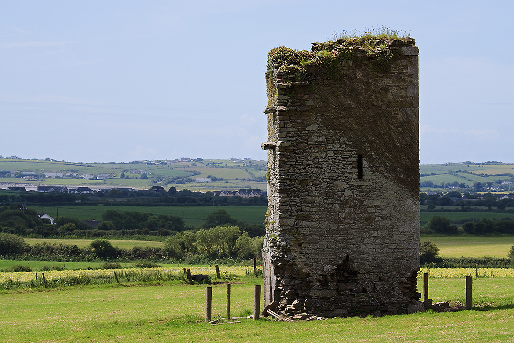 Farahy Castle (in Ruins)Castle, unclassified · 1.8 mi
 North Meadow WoodForest · 2.0 mi
 Kilclooney WoodWood · 2.0 mi
 Flat cemetery in Ballyenahan NorthFlat cemetery · 2.1 mi
 CarrigeenamronetyMountain / peak · 2.2 mi
 Coolfree MountainMountain / peak · 3.1 mi
 ToberpatrickSpring · 3.8 mi