What is recorded here
Fairy forts are human ringforts misnamed, often built or reused in the medieval period and later farmed over. In Oldcastletown the earthwork stood in level pasture until it was levelled around 1982, leaving only a low arc and faint crop shadow behind. The fairies inherit the gap left when people stopped remembering what the bank was for.
In level pasture. Depicted as subcircular enclosure on 1842 OS 6-inch map; as hachured arc, showing bank, W->SE on 1905 OS 6-inch map, and field boundary enclosing interior to S; hachured as circular platform (diam. c. 30m) with outer bank W->NE on 1936 OS 6-inch map. According to local information levelled c. 1982. Arc formed by earthen bank (H 0.8m) survives in corner of field to SE; in field to N circular cropmark indicates outline of site. Arc (W->E), formed by two upstanding banks with intervening fosse, visible in aerial photograph (GSIAP, R640, dated May 1977); S half of enclosure appears to be incorporated into field boundary system.
The above description is derived from the published 'Archaeological Inventory of County Cork. Volume 4: North Cork' (Dublin: Stationery Office, 2000). In certain instances the entries have been revised and updated in the light of recent research.
Date of upload/revision: 14 January 2009
The monument record does not grant public access. Check the route and ask the landowner before entering private land.
- What survives
- Recorded monument
Places near here
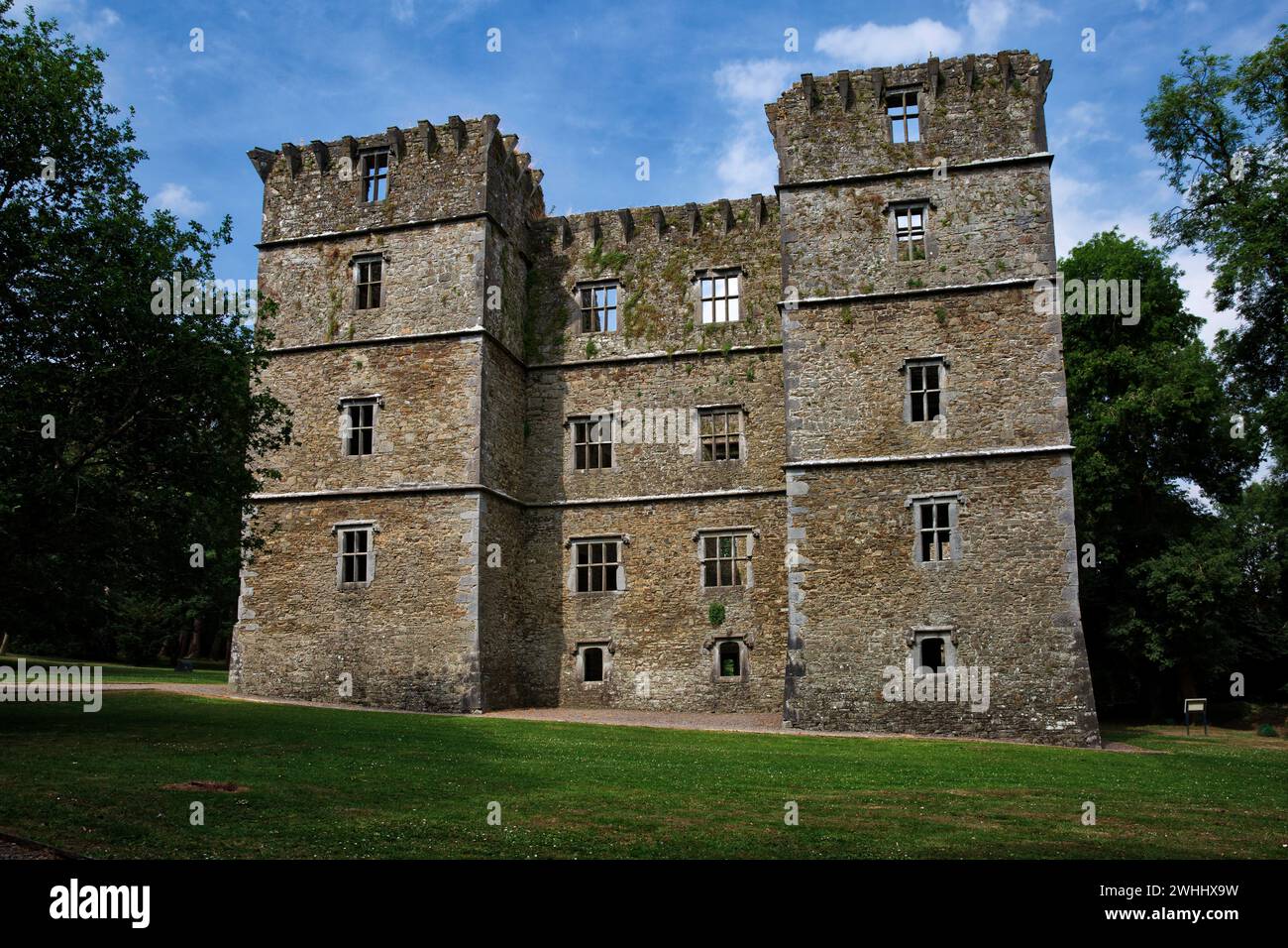 Man-made underground passage in OldcastletownMan-made underground passage · 194 yd
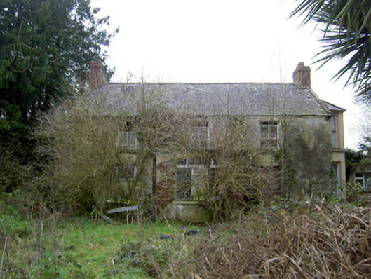 Oldcastletown Househouse · 814 yd
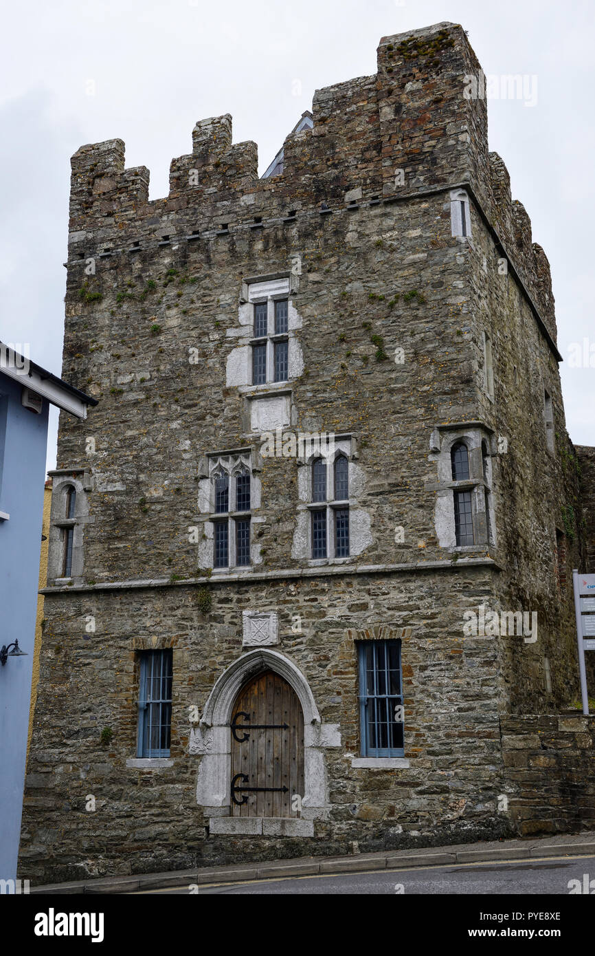 Fulacht fia in OldcastletownFulacht fia · 930 yd
 farmyard complexfarmyard complex · 1555 yd
 Castletown Castle (Site of)Castle, unclassified · 1678 yd
 Kilclooney WoodWood · 1.9 mi
 CarrigeenamronetyMountain / peak · 1.9 mi
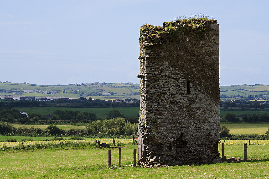 Farahy Castle (in Ruins)Castle, unclassified · 2.0 mi
 North Meadow WoodForest · 2.1 mi
 Flat cemetery in Ballyenahan NorthFlat cemetery · 2.4 mi
 Coolfree MountainMountain / peak · 2.9 mi
 ToberpatrickSpring · 3.6 mi