What is recorded here
Kinahan recorded a rahen in Oghill in 1889, but the subcircular platform still measures only thirty by twenty-three metres and rises no higher than one and a half metres above the pasture. It is a shallow scar rather than a monumental fortress, visible only because the grass grows slightly thicker along its hidden edge. People may have stood there, watched the land or left it to the fairies, yet no wall, gate or hearth survives to tell which.
A subcircular platform c. 30m NNE-SSW and c. 23m ESE-WNW seems to be the 'raheen' recorded about here by Kinahan (1889, 281). The platform is nowhere more than 1.5m above the surrounding land. The site is located on a rise in undulating pasture land.
The above description was derived from the 'Archaeological Survey of County Donegal. A description of the field antiquities of the County from the Mesolithic Period to the 17th century.' Compiled by: Brian Lacey with Eamon Cody, Claire Cotter, Judy Cuppage, Noel Dunne, Vincent Hurley, Celie O'Rahilly, Paul Walsh and Seán Ó Nualláin (Lifford: Donegal County Council, 1983). In certain instances the entries have been revised and updated.
Date of upload: 22 September 2008
The monument record does not grant public access. Check the route and ask the landowner before entering private land.
- What survives
- Recorded monument
Places near here
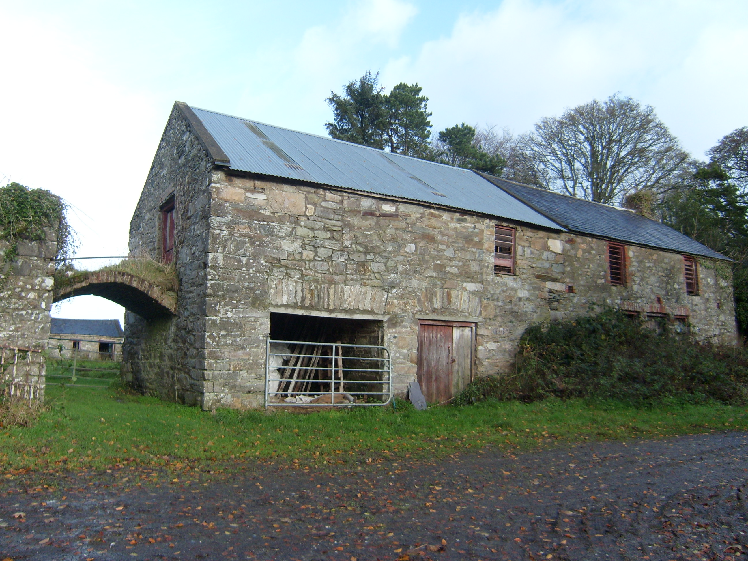 Moyaghoutbuilding · 1448 yd
 Church in Tully More (ballyarr Ed)Church · 1.2 mi
 Holy well in Loughros GlebeHoly well · 1.3 mi
 Holy WellHoly well · 1.3 mi
 Drummonaghan WoodForest recreation place · 1.9 mi
 European BeechEuropean Beech · 2.1 mi
 Bawn in RathmeltonBawn · 2.3 mi
 Tullyaughnish Old Church GraveyardGraveyard · 2.4 mi
 Castle (Site of)Castle, unclassified · 3.7 mi
 Rough IslandIslet · 4.3 mi
 Loughsalt MountainMountain / peak · 4.4 mi
 Croaghan HillMountain / peak · 5.3 mi