
What is recorded here
A simple opening in the ground adjacent to a ruined cashel (DG036-021) is regarded as a holy well (Kinahan 1889, 281-2). It is located in rough pasture near the summit of Holywell Hill.
The above description was derived from the 'Archaeological Survey of County Donegal. A description of the field antiquities of the County from the Mesolithic Period to the 17th century.' Compiled by: Brian Lacey with Eamon Cody, Claire Cotter, Judy Cuppage, Noel Dunne, Vincent Hurley, Celie O'Rahilly, Paul Walsh and Seán Ó Nualláin (Lifford: Donegal County Council, 1983). In certain instances the entries have been revised and updated.
Date of upload: 22 September 2008
Linked to an unidentified saint, the holy well at Holywell Hill was traditionally associated with healing rituals, particularly for ailments of the eyes and general well-being. The nearby ruined cashel suggests a possible early Christian or prehistoric sacred landscape.
The monument record does not grant public access. Check the route and ask the landowner before entering private land.
- What survives
- Recorded monument
Places near here
 Holy WellHoly well · 147 yd
 graveyard/cemeterygraveyard/cemetery · 1102 yd
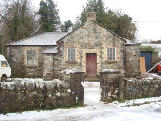 schoolschool · 1.2 mi
 Glentidaly Double Stone RingfortFairy fort / stone ringfort · 1.5 mi
 Drummonaghan WoodForest recreation place · 2.6 mi
 Bawn in RathmeltonBawn · 2.6 mi
 European BeechEuropean Beech · 2.7 mi
 Tullyaughnish Old Church GraveyardGraveyard · 2.8 mi
 Rough IslandIslet · 3.4 mi
 Croaghan HillMountain / peak · 4.1 mi
 Cranberry IslandIslet · 4.3 mi
 Castle (Site of)Castle, unclassified · 4.9 mi
Other information
Photo: Credit not shown in the picture search · Rights wording not checked; contact us if this picture should be removed