What is recorded here
Situated in forestry plantation on a slight natural rise of ground surrounded by wet poorly drained land. Ringfort (WM016-009----) lies 260m to E. A large sub-circular shaped area (approx. diam. 44m N-S; 42m E-W) enclosed by a very slight earthen bank with vague traces of an external fosse. The bank has several disturbance gaps but no clear entrance feature visible.
Compiled by: Frank Coyne and Caimin O'Brien
Date of upload: 10 September 20
The monument record does not grant public access. Check the route and ask the landowner before entering private land.
- What survives
- Recorded monument
Places near here
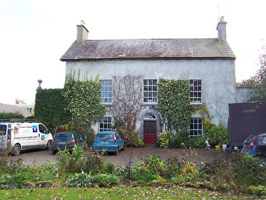 Noughaval Househouse · 658 yd
 Ecclesiastical enclosure in NoughavalEcclesiastical enclosure · 675 yd
 Noughaval CemeteryArchaeological place · 685 yd
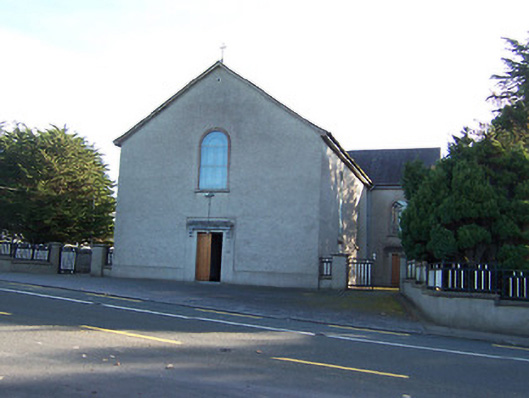 Catholic Church of the Immaculate Conceptionchurch/chapel · 1303 yd
 Partially hachuredCliff-edge fort · 1543 yd
 European BeechEuropean Beech · 1.1 mi
 OutlinedCastle, unclassified · 2.1 mi
 Bawn in Cannorstown (hogan)Bawn · 2.6 mi
 Target WoodWood · 3.2 mi
 Newcastle WoodsForest · 3.4 mi
 Guest ServicesVisitor information · 3.4 mi
 Craft WorkshopHeritage attraction · 3.5 mi