What is recorded here
Fairy forts are earthen rings people once lived in or marked, not proved fairy homes. This is a grass-covered ring on the west bank of the Athboy River, with a narrow earthen bank, a shallow fosse, and a gap at the southwest. It is absent from ordinary maps yet still shows in aerial photographs, which is why it resists forgetting. The river, grass and silence do the rest.
Situated on the W bank of a NW-SE section of the Athboy River with the stream c. 80m to the NE. It is not depicted on any map but is visible on aerial photographs (GSIAP: N 76, 77, 96, 97) but only barely on later series. It was described in 1985 (SMR file) as a subcircular grass-covered area (dims 63m N-S; 57m E-W) defined by a slight earthen bank (Wth of base c. 3m; int. H 0.5m) ESE-W, and a complete fosse (Wth of top 4-6m; int. D 0.4m at E to 1m at S; ext. D 0.2m). There was a wide gap (Wth of base 7m) in the bank at SW.
The above description is derived from the published 'Archaeological Inventory of County Meath' (Dublin: Stationery Office, 1987). In certain instances the entries have been revised and updated in the light of recent research.
Compiled by: Michael Moore
Date of revision: 17 April 2019
The monument record does not grant public access. Check the route and ask the landowner before entering private land.
- What survives
- Recorded monument
Places near here
 EnclosureEnclosure, large enclosure · 854 yd
 Not idicaetedFairy fort / earthen ringfort · 1.1 mi
 Church (in Ruins)Church · 1.2 mi
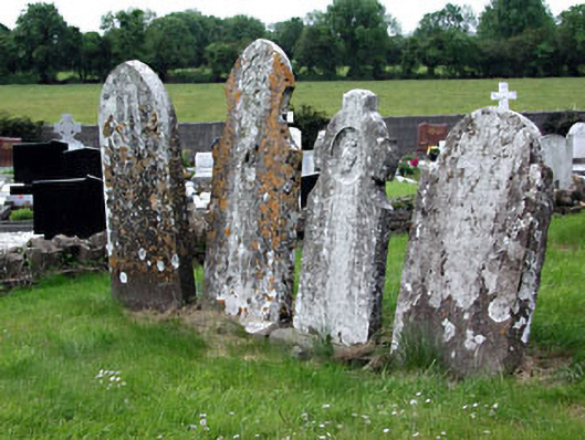 Saint Dympna's Cemeterygraveyard/cemetery · 1.6 mi
 Fraine CastleCastle, tower house · 1.8 mi
 FraineMountain / peak · 2.0 mi
 CastleCastle, unclassified · 2.1 mi
 JamestownMountain / peak · 4.0 mi
 FarmaphobiaHeritage attraction · 4.8 mi
 Causey FarmHeritage attraction · 4.8 mi
 Laurelberry WoodWood · 4.9 mi
 Girley WoodWood · 5.0 mi