What is recorded here
Undergrowth strangles the ring now, but the eastern scarps still stand two metres high, marking a thirty-metre circle where human hands shaped the earth before memory faded. The western edge has surrendered to time, lowering to one and a half metres, while dry stone walls have climbed the counterscarp like vines claiming a forgotten throne. What lived inside that circle has vanished into soil and shadow, leaving only the shape of its absence for anyone who walks past the pasture to imagine.
In pasture, on low rise in gently undulating terrain. Circular area (diam. c. 30m) defined by scarped edge (H 2.1m; Wth 4.75m) with external fosse (Wth 2.1m) and counterscarp bank (int. H 0.7m; ext. H 0.85m). Enclosing element is almost completely obscured by undergrowth. Scarp is best preserved along E side, but lowers towards W (H 1.6m). Counterscarp bank is overlain by dry-stone field boundary at NNW->N and SE->SSW; site occupies SW corner of field. Gaps in bank at NW (Wth 1.5m) and NNE (Wth 4.1m). Interior is covered by dense overgrowth.
Compiled by: Denis Power
Date of upload: 26 August 2011
The monument record does not grant public access. Check the route and ask the landowner before entering private land.
- What survives
- Recorded monument
Places near here
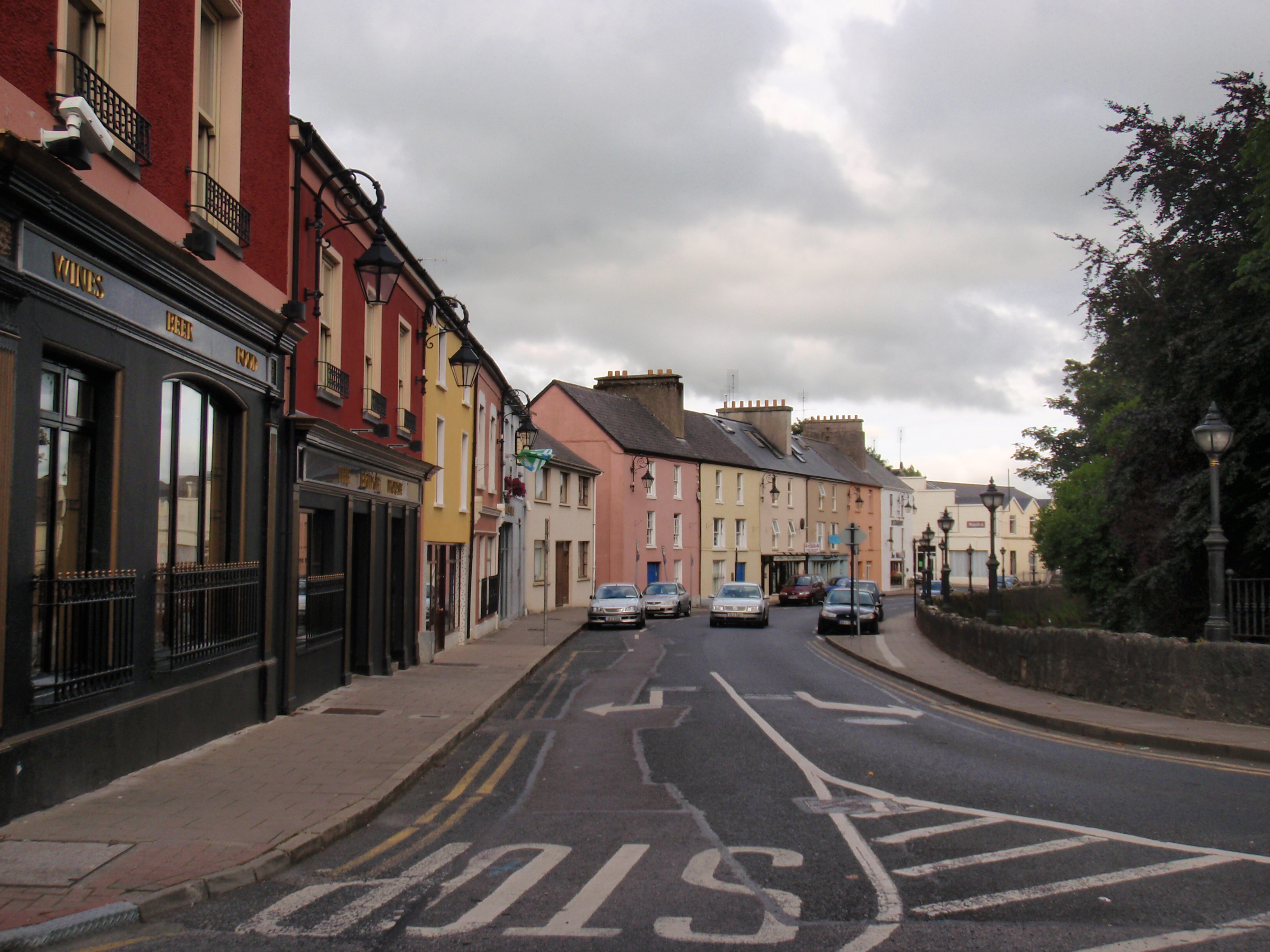 IndicatedFairy fort / earthen ringfort · 935 yd
 schoolschool · 972 yd
 Grave Yd.Graveyard · 1223 yd
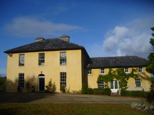 The Rectoryrectory/glebe/vicarage/curate's house · 1346 yd
 Bawn in Castletown (kenry By.)Bawn · 1518 yd
 Carriganea CastleCastle · 1.2 mi
 Stonehall Visitor FarmHeritage attraction · 2.4 mi
 Sweet ChestnutSweet Chestnut · 2.4 mi
 European YewEuropean Yew · 2.5 mi
 Ringmoylan PierVisitor information · 2.6 mi
 Curraghchase Forest ParkForest · 2.7 mi
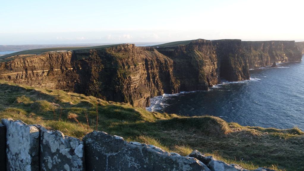 Conor's RockNamed rock · 3.4 mi