What is recorded here
In pasture, on W-facing slope. Circular area (24.5m N-S; 24m E-W) enclosed by earthen bank, with external fosse (D 0.3m; Wth 1.1m) SSE->SSW. Bank (int. H 0.45m; ext. H 1.3m) is highest S->N where slope of ground is greatest; Bank grades to scarped edge (int. H 0.15m; ext. H 1.3m) along W arc. Level interior under pasture.
From the National Monuments Service (Archaeological Survey of Ireland) record LI011-015
The monument record does not grant public access. Check the route and ask the landowner before entering private land.
- What survives
- Recorded monument
Places near here
Photo credits
- National Inventory of Architectural Heritage
- Robin Moody, Geograph · CC BY-SA 2.0
- Miguel Angel Masegosa Martínez, Wikimedia Commons · CC BY 2.0
- Garry Dickinson, Wikimedia Commons · CC BY-SA 2.0
- Peter Gerken, Wikimedia Commons · CC BY-SA 2.0
- Wikimedia Commons contributor · Public domain
- Joseph Mischyshyn, Geograph · Creative Commons Attribution-ShareAlike 2.0
(Site of) Grave YardBurial ground · 531 yd school1411 ydCastletown Church (Kilcornan)Church/chapel · 1.1 miBeagh Castle (in ruins)Castle, tower house · 2.3 miSweet Chestnut2.7 miSweet Chestnut2.7 miRingmoylan PierVisitor information · 2.7 miHorse RockNamed rock · 2.8 miShanpallas CastleCastle · 3.0 miCurraghchase Forest ParkForest · 3.1 miAskeaton CastleHeritage attraction · 3.6 miGraveyard5.8 mi
 school1411 yd
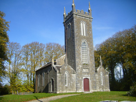 Castletown Church (Kilcornan)Church/chapel · 1.1 mi
 Beagh Castle (in ruins)Castle, tower house · 2.3 mi
 Sweet Chestnut2.7 miSweet Chestnut2.7 miRingmoylan PierVisitor information · 2.7 miHorse RockNamed rock · 2.8 mi
_-_geograph.org.uk_-_6538081.jpg/250px-Castles_of_Munster,_Shanpallas,_Limerick_(1)_-_geograph.org.uk_-_6538081.jpg "Photo: Garry Dickinson, Wikimedia Commons · CC BY-SA 2.0") Shanpallas CastleCastle · 3.0 mi
Shanpallas CastleCastle · 3.0 mi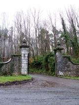 Curraghchase Forest ParkForest · 3.1 mi
 Askeaton CastleHeritage attraction · 3.6 mi
 Graveyard5.8 mi
More archaeology and monuments in County Limerick · All of County Limerick
What do you know about this place?