What is recorded here
Situated on the SSE-facing slope of a slight rise, in low-lying, wet pasture, with good views all around. Monument described in 1970s as a subcircular-shaped area (dims.30m N-S; 28.3m E-W) enclosed by a bank and external fosse with causewayed entrance gap (Wth at top 3.3m; basal Wth 1.6m) at SW. The bank is best preserved from SSE-S-SSW and is almost reduced to a scarp from SSW-W-NW and from E-SSE. The bank has been levelled and reduced to a slight scarp from NW-N-E. The external fosse is reasonably well preserved from E-SE and from S-W-NW. There are large field clearance boulders within the fosse at S and W. The interior has a gentle SE-facing slope and there is a quarry depression within the N quadrant. The enclosing bank of the ringfort survives today only from E-S-W where it is visible on Digital Globe aerial photographs.
Compiled by Alison McQueen, Vera Rahilly and Caimin O’Brien.
Date of upload: 24 July 2019
The monument record does not grant public access. Check the route and ask the landowner before entering private land.
- What survives
- Recorded monument
Places near here
 Partially hachuredFairy fort / earthen ringfort · 547 yd
 Shinglis CourtCastle, unclassified · 1.1 mi
 Flour MillWater mill, vertical-wheeled · 1.1 mi
 Mass-rock in HarrystownMass-rock · 1.1 mi
 Corran IslandIslet · 1.3 mi
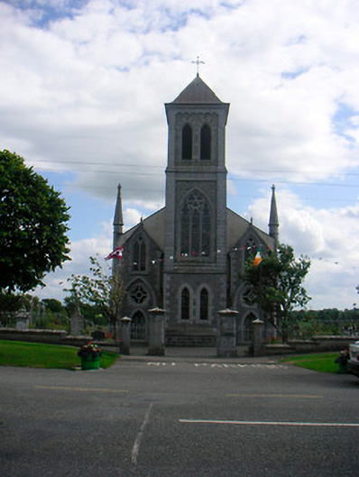 Catholic Church of the Most Holy Redeemerchurch/chapel · 1.3 mi
 IndicatedCastle, unclassified · 1.6 mi
 Noughaval CemeteryArchaeological place · 3.4 mi
 Guest ServicesVisitor information · 3.7 mi
 Craft WorkshopHeritage attraction · 3.7 mi
 Sessile OakSessile Oak · 3.8 mi
 Target WoodWood · 4.2 mi