
What is recorded here
In elevated pasture, built into N face of low hill overlooking mill race and old road known locally as Bianconi's road (pers. comm. Dara Reid) immediately to the N. Harrystown flour mill (WM023-084----) located 30m to W, small bridge crossing mill race 8m to NW. This mass rock consists of a flat recumbent slab (L 1.31m; Wth 0.5m; T 0.2m) acting as an altar which was supported on loosely piled stones which has been built into the N face of the hill which rises high above the altar of the mass rock. The mass rock is located beside an old road now used as a laneway which is locally referred to as Bianconi's road. According to the woman living in the nearby mill house this stone was known locally as the mass rock (pers. comm. Dara Reid).
Compiled by: Caimin O'Brien
Date of upload: 22 August 2014
A mass-rock used for secret Catholic worship during the period of religious persecution in Ireland; such sites were often associated with local saints and hidden chapels. No specific saint or cure is recorded in connection with this particular mass-rock.
The monument record does not grant public access. Check the route and ask the landowner before entering private land.
- What survives
- Recorded monument
Places near here
 Flour MillWater mill, vertical-wheeled · 46 yd
 IndicatedCastle, unclassified · 1246 yd
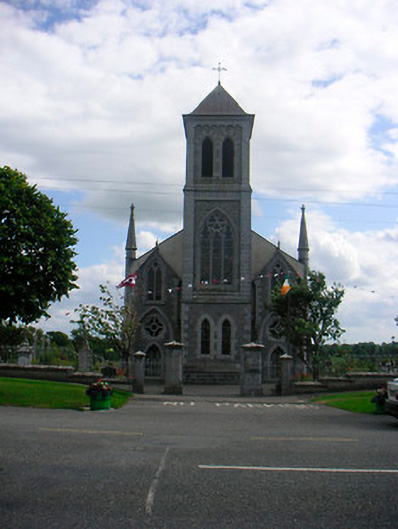 Catholic Church of the Most Holy Redeemerchurch/chapel · 1657 yd
 Partially hachuredFairy fort / earthen ringfort · 1.4 mi
 Plary Monastery (in Ruins)Castle, tower house · 1.5 mi
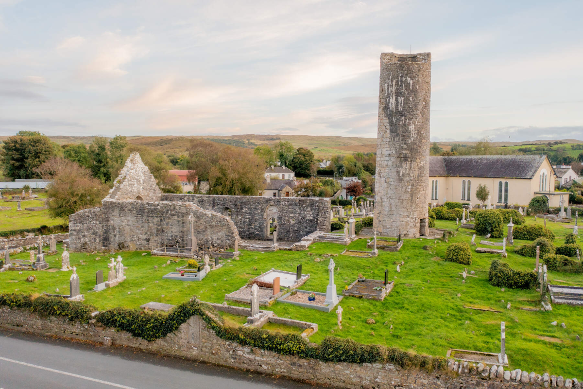 Tober EnainHoly well · 1.5 mi
 Corran IslandIslet · 1.6 mi
 Noughaval CemeteryArchaeological place · 3.9 mi
 Japanese pagoda treeJapanese pagoda tree · 4.0 mi
 KnockastiaMountain / peak · 4.5 mi
 Guest ServicesVisitor information · 4.8 mi
 Craft WorkshopHeritage attraction · 4.8 mi
Other information
Photo: Credit not shown in the picture search · Rights wording not checked; contact us if this picture should be removed