What is recorded here
Fairy fort / earthen ringfort in Newtown (delvin By.) is a fairy fort or earthen ringfort in Newtown (delvin By.), County Westmeath, Ireland. It occupies a sub-circular area measuring approximately 36 metres north-south and 31 metres east-west on a southwest-facing slope of rising ground. The earthwork was defined by a broad earthen bank enclosing a wide shallow external fosse, with an interior that slopes appreciably from north-northeast to south-southwest. Although levelled between 1973 and 1978, the site is visible as a faint crop-mark on a November 2011 aerial photograph.
Situated on SW facing slope of rising ground in grassland. A sub-circular shaped area (approx. diam. 36m N-S; 31m E-W) enclosed by a broad earthen bank and a wide shallow external fosse. The interior slopes appreciably from NNE-SSW. The ringfort was levelled between the field report of 1973 and 1978 when it was described as having been ‘bulldozed away’. Visible as a faint crop-mark on the Digital Globe aerial photograph taken November 2011.
See attached profile of monument surveyed and drawn by the ASI in 1973 before it was levelled.
Compiled by: Frank Coyne and Caimin O'Brien
Date of upload: 23 May 2017
The monument record does not grant public access. Check the route and ask the landowner before entering private land.
- What survives
- Recorded monument
Places near here
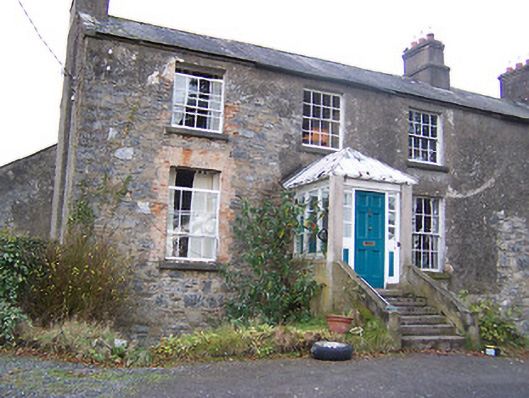 The Old Rectoryrectory/glebe/vicarage/curate's house · 473 yd
 Hilltop enclosure in Carn (fore By., Collure Ed)Hilltop enclosure · 536 yd
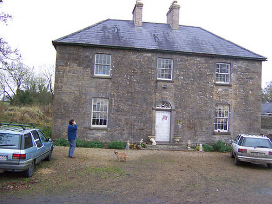 Simonstown Househouse · 560 yd
 Ecclesiastical enclosure in MayneEcclesiastical enclosure · 652 yd
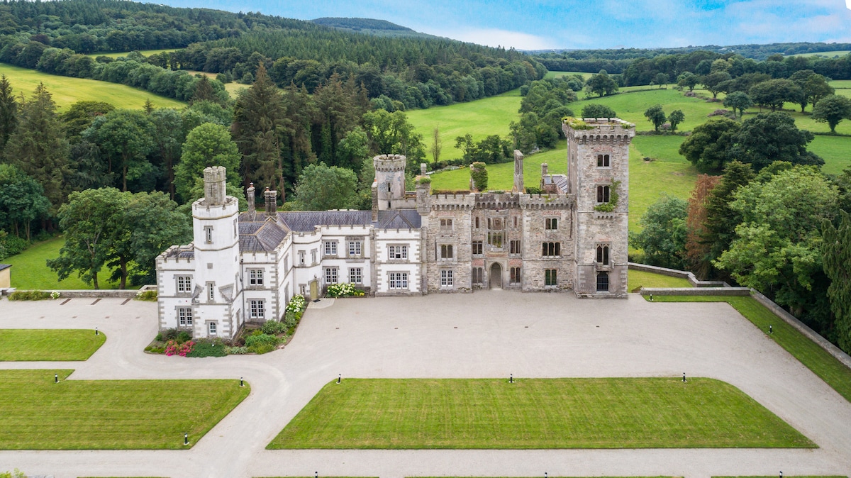 CastleCastle, tower house · 1376 yd
 Turbotstown Ho.Castle, unclassified · 1557 yd
 European BeechEuropean Beech · 1.4 mi
 Pedunculate OakPedunculate Oak · 1.6 mi
 Rock of CurryCliff · 3.2 mi
 Bridge Memorial (Kenna)Memorial · 4.6 mi
 KnockeyonMountain / peak · 5.4 mi
 Mullaghmeen ForestPicnic place · 5.4 mi