What is recorded here
Fairy forts are human places misnamed because people stopped remembering they were human. This is a D-shaped ringfort on a ridge in Newstone, County Meath, with a grass-covered interior, a shallow scarp, a fosse and an outer bank on its straight northwest side. It is the kind of small strongholds that dotted the Irish landscape, places where families lived, argued, buried their dead and were forgotten. The fairy story is a gift, but the human one is deeper: ordinary people built and abandoned it, and the land kept its shape long after their names disappeared.
Situated on the summit of a NW-SE ridge. It is not depicted on any edition of the OS 6-inch map. This is a D-shaped grass-covered area (dims 25m NE-SW; 21m NW-SE) defined y a scarp (H c. 0.5m), with a fosse (Wth of top 4.5m; int. D 1.2m; ext. D 0.8m) and an outer bank (L 7m; Wth of base 3.5m; ext. H 0.8m) on the straight side at NW.
The above description is derived from the published 'Archaeological Inventory of County Meath' (Dublin: Stationery Office, 1987). In certain instances the entries have been revised and updated in the light of recent research.
Compiled by: Michael Moore
Date of revision: 3 September 2018
The monument record does not grant public access. Check the route and ask the landowner before entering private land.
- What survives
- Recorded monument
Places near here
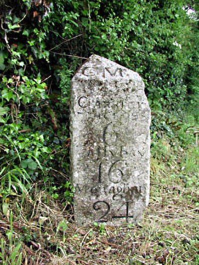 milestone/milepostmilestone/milepost · 728 yd
 Newstone Castle in RuinsCastle, tower house · 755 yd
 CastleCastle, motte · 1038 yd
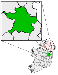 Font (present location) in RathtrasnaFont (present location) · 1504 yd
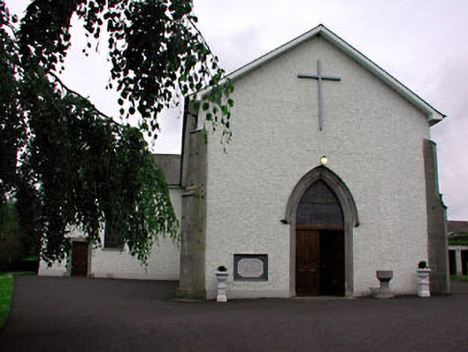 Catholic Church of Saint Peter and Saint Paulchurch/chapel · 1504 yd
 Drumran HillMountain / peak · 1621 yd
 Hillfort in Kilriffin,sallybrookHillfort · 1648 yd
 Matthew's HillMountain / peak · 1.2 mi
 Tree IslandWood · 3.3 mi
 Flat cemetery in AnnaheanFlat cemetery · 4.1 mi
 Nobber GreenwayMemorial · 4.4 mi
 European White ElmEuropean White Elm · 5.0 mi