What is recorded here
Fairy fort / earthen ringfort in Newpark (Ballysheehan parish) is a fairy fort or earthen ringfort in Newpark (Ballysheehan parish), County Tipperary, Ireland. The source describes a sunken circular area about 32 metres north-south and 24 metres east-west, enclosed by a barely visible low rise with the vegetation mark of a filled ditch. A 1954 sketch instead showed an oval enclosure about 50 by 36.5 metres. The account identifies it as a possible ringfort levelled when the field was reclaimed around 1963.
In reclaimed grassland on an E-facing slope of low rise of ground in upland area with good views in all directions. Sunken circular area (approx int. diam. 32m N-S; 24m E-W; D 0.4m) enclosed by a barely visible low rise of ground (H 0.1m; Wth 2m) with vegetation mark of a filled in fosse (Wth 1.5m) intersected at N by a field boundary running on an E-W axis. A sketch plan and sections of the monument drawn in 1954 show an oval area (overall dims. 166ft [c. 50m] N-S; 120ft [c. 36.5m] E-W) enclosed by a bank surmounted by a field boundary (OS Field Memorandums). Possible ringfort which was levelled when field was reclaimed around 1963 (OPW correspondence file).
Compiled by: Jean Farrelly
Date of upload: 26 August 2011
The monument record does not grant public access. Check the route and ask the landowner before entering private land.
- What survives
- Recorded monument
Places near here
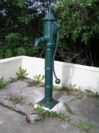 water pumpwater pump · 201 yd
 RaheenFairy fort / earthen ringfort · 457 yd
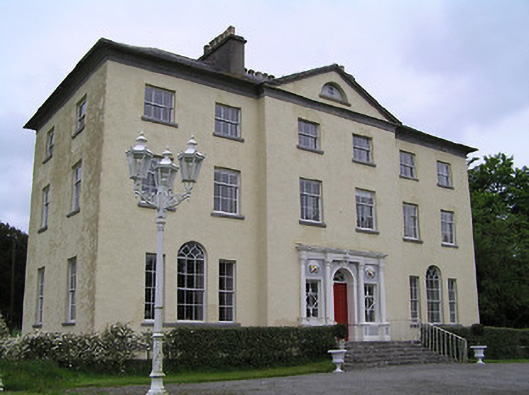 Ballyowen Housecountry house · 566 yd
 Black FortFairy fort / earthen ringfort · 809 yd
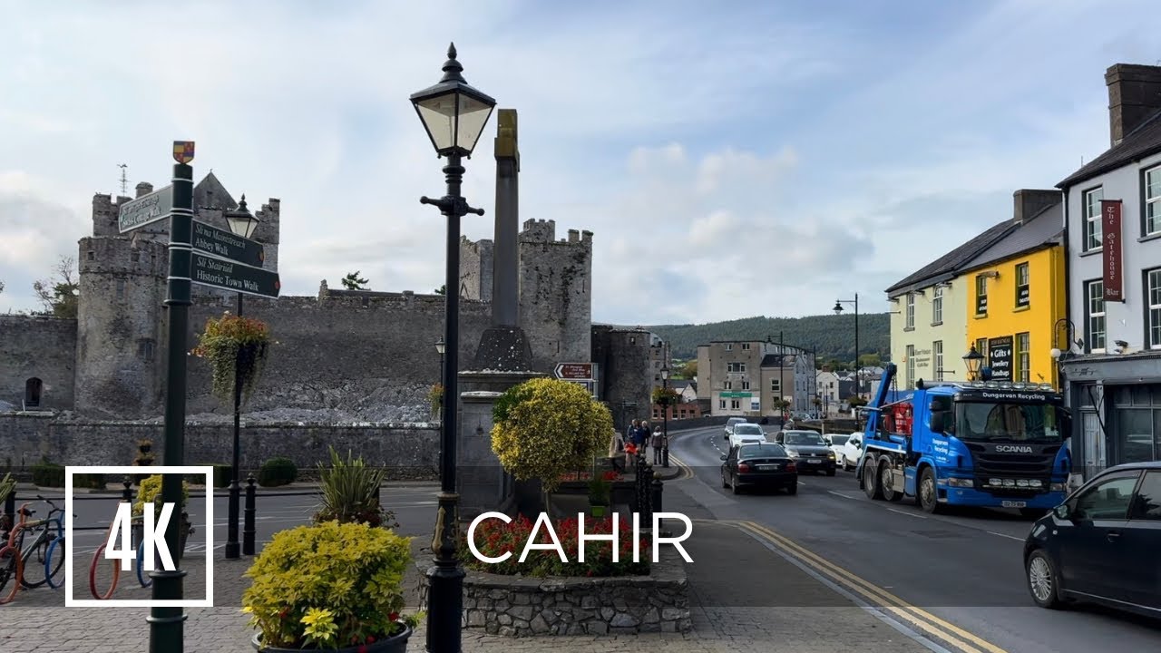 Bawn in ErryBawn · 1298 yd
 Castle in RuinsCastle, motte and bailey · 1443 yd
 Ballinure HillMountain / peak · 1.6 mi
 Taylor's WoodWood · 2.0 mi
 Ballyknock HillMountain / peak · 2.4 mi
 The Rock Of CashelVisitor information · 3.7 mi
 Cormac's ChapelHeritage attraction · 3.7 mi
 Rock of CashelHeritage attraction · 3.7 mi