What is recorded here
Located towards the top of the S-facing slope of a drumlin. This rath is depicted on McCrea’s map of County Monaghan (1793) but it is also represented as a D-shaped embanked feature truncated by a NE-SW field bank at NW on the 1834 and 1907 editions of the OS 6-inch map. This is a D-shaped overgrown platform (dims c. 28m NE-SW; c. 14m NW-SE) defined by portion of a bank or scarp (H 1m) E-S-SW truncated by a field bank at NW, and there may be faint traces of it NW of the field bank. There is no visible fosse or identifiable entrance.
The above description is derived from the published 'Archaeological Inventory of County Monaghan' (Dublin: Stationery Office, 1986). In certain instances the entries have been revised and updated in the light of recent research.
Date of revision: 27 June 2017
The monument record does not grant public access. Check the route and ask the landowner before entering private land.
- What survives
- Recorded monument
Places near here
 Man-made underground passage in Killark (farney By.)Man-made underground passage · 653 yd
 Church in Killark (farney By.)Church · 716 yd
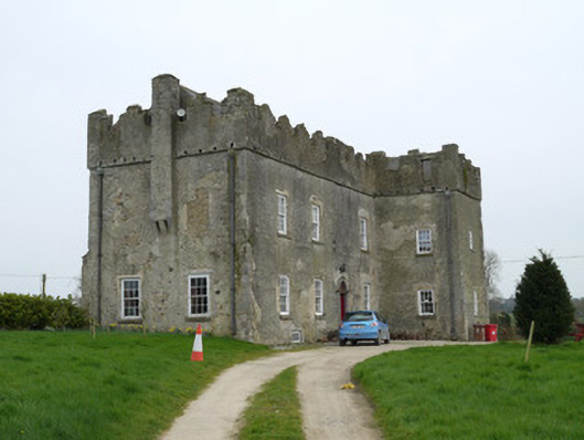 Maghernacloy Castlecastle/fortified house · 1089 yd
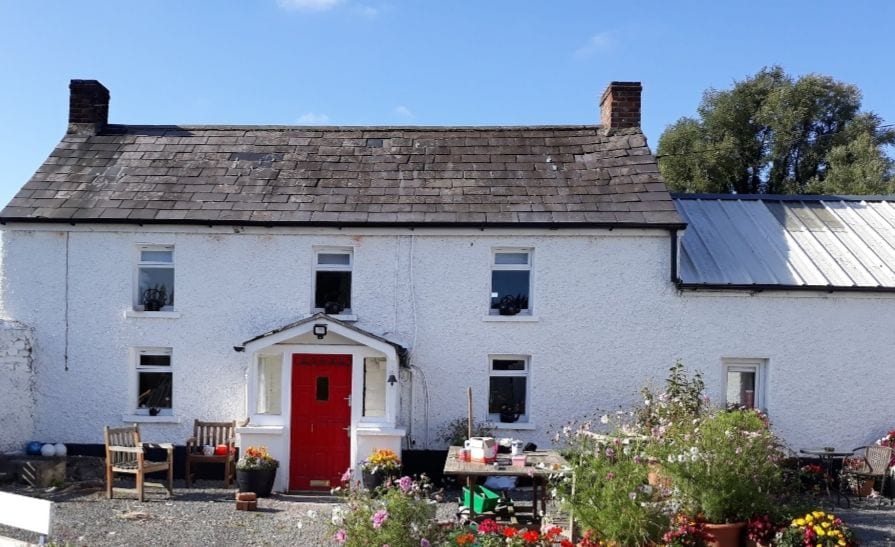 IndicatedCrannog · 1465 yd
 Lagan castleCastle, tower house · 1.5 mi
 Flat cemetery in AnnaheanFlat cemetery · 1.5 mi
 Tree IslandWood · 2.0 mi
 The MountCastle, motte and bailey · 2.3 mi
 BarleyhillMountain / peak · 3.0 mi
 Monkey-puzzleMonkey-puzzle · 3.1 mi
 Natural Play AreaMemorial · 4.1 mi
 Matthew's HillMountain / peak · 4.1 mi