What is recorded here
Mullanavarnoge holds a thirty-five metre circular scar where human hands built a fort before fairy claims took it over. The earthen bank still traces the edge though fields and forgetting have smoothed the inside. People may have lived there, feared there or simply passed around it while the land kept its shape. What is certain is the circle, the broken bank and the way the place resists being fully explained.
Marked 'Fort' on OS 1836 ed. Raised circular area (int. diam. 35m) enclosed by a low earthen bank and a wide, shallow, poorly preserved fosse. From NE-S-WNW the perimeter has been modified and incorporated into the field boundary. Elsewhere it has been largely levelled but its outline is still clearly identifiable. Original entrance not recognisable.
The above description is derived from the published 'Archaeological Inventory of County Cavan' (Dublin: Stationery Office, 1995). In certain instances the entries have been revised and updated in the light of recent research.
Date of upload/revision: 22 December 2008
The monument record does not grant public access. Check the route and ask the landowner before entering private land.
- What survives
- Recorded monument
Places near here
 DrumakeenanMountain / peak · 620 yd
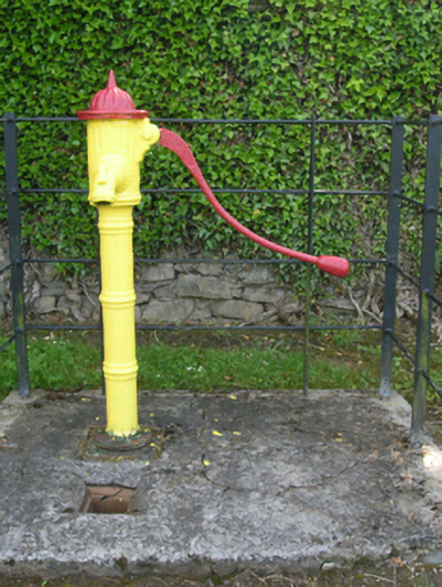 water pumpwater pump · 823 yd
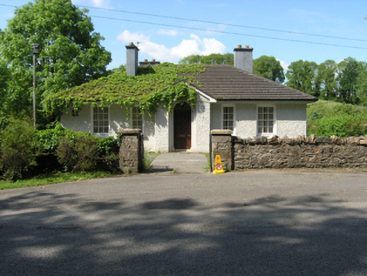 Redhills Garda Síochána Stationgarda station/constabulary barracks · 842 yd
 Mass-rock in Shannow WoodMass-rock · 1154 yd
 SycamoreSycamore · 1154 yd
 RuinsHouse, fortified house · 1157 yd
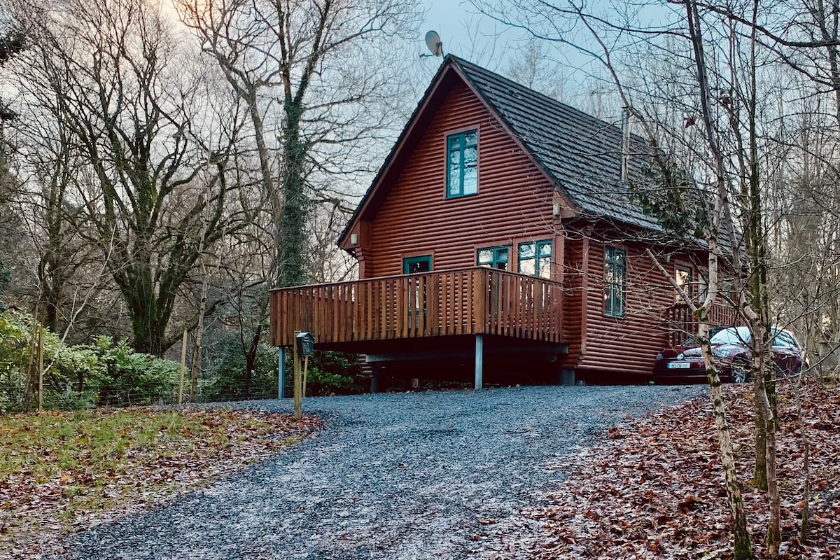 Shannow WoodForest · 1170 yd
 Site of Old ChurchChurch · 1348 yd
 Bawn in KillyfanaBawn · 1.3 mi
 ClonandraMountain / peak · 1.8 mi
 Garden IsleIslet · 3.0 mi
 Annagh Lough BeachBeach / strand · 3.4 mi