What is recorded here
Mullalougher holds a broken ring twenty-four metres wide, its earth scarped and uneven beneath a modern stone wall that replaced the northern boundary. The original entrance has vanished, erasing the human doorway that once admitted people into the dark. What remains is a circular wound in the Cavan landscape, half forgotten and half rebuilt, where the shape of human occupation still presses against the soil but no longer explains itself.
A much-disturbed raised circular area (int. diam. 23.6m) defined from SW-W-N and from E-SE-S by a low scarp. From N-NNE-E this has been replaced by a modern stone wall which also extends along the upper edge of the scarp from N-W-SW. Original entrance not recognisable. Internal area very uneven.
The above description is derived from the published 'Archaeological Inventory of County Cavan' (Dublin: Stationery Office, 1995). In certain instances the entries have been revised and updated in the light of recent research.
Date of upload/revision: 22 December 2008
The monument record does not grant public access. Check the route and ask the landowner before entering private land.
- What survives
- Recorded monument
Places near here
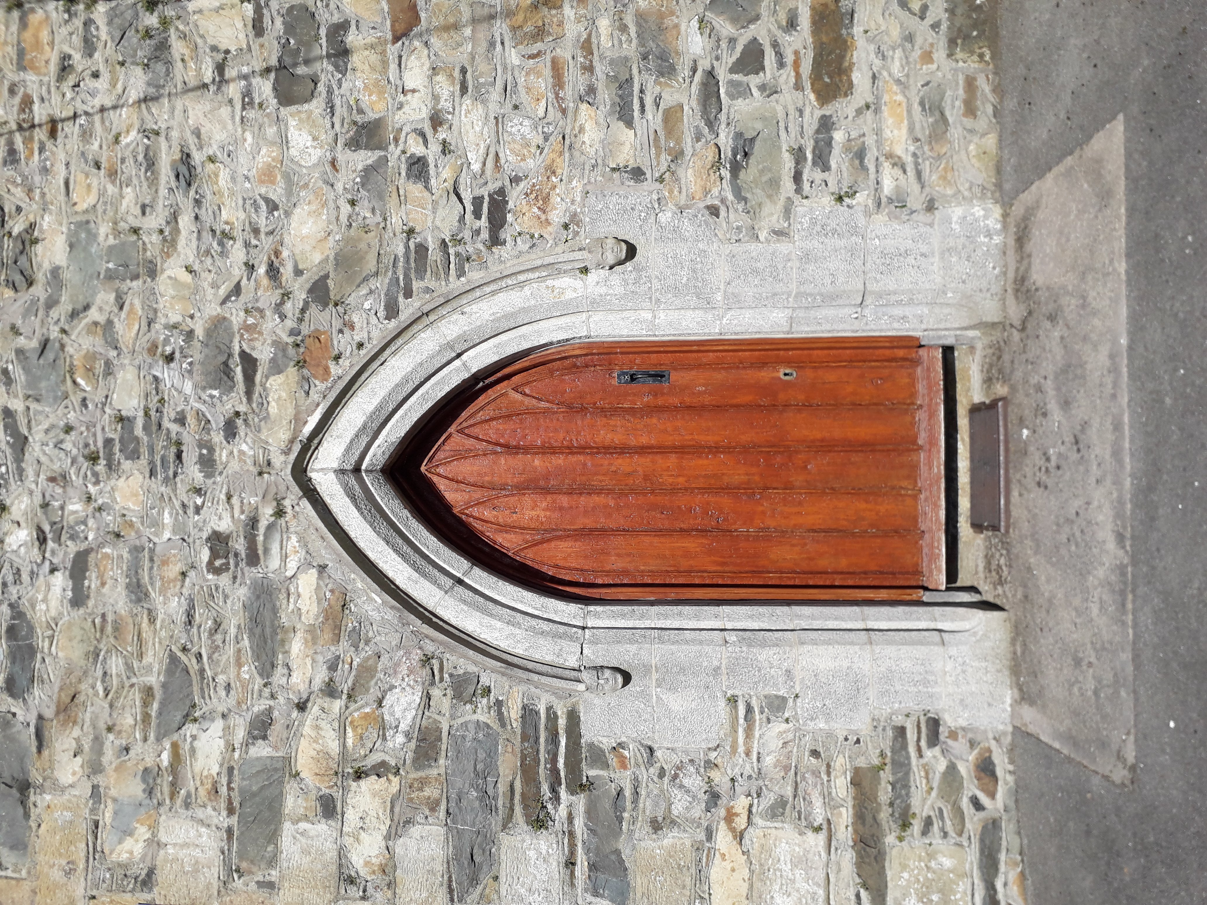
 Killoughter Church of Ireland Churchchurch/chapel · 1463 yd
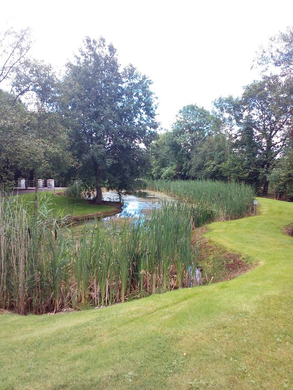 ClaraghMountain / peak · 1629 yd
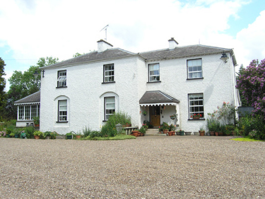 Killoughter Glebe Houserectory/glebe/vicarage/curate's house · 1630 yd
 KilloughterWood · 1701 yd
 Site of Old ChurchChurch · 1.0 mi
 ArdamaghMountain / peak · 1.1 mi
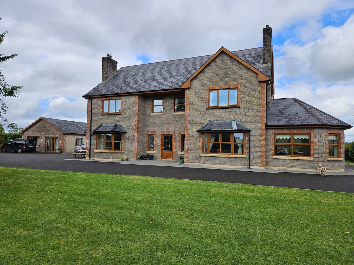 StoneparkWood · 1.2 mi
 Drumcarn Ho.Castle, unclassified · 1.3 mi
 Mass-rock in Shannow WoodMass-rock · 1.5 mi
 RuinsHouse, fortified house · 1.8 mi
 Garden IsleIslet · 2.1 mi
 Giant's GraveArchaeological place · 4.2 mi