What is recorded here
Mullaghoran holds a thirty-three-metre circular scar where human hands first shaped the earth. The low bank still curves around the grass, preserving the boundary between the ordinary field and the hidden world. People may have lived there before forgetting the name, or perhaps they built the fort because the fairies already claimed the ground. Either way, the circle remains intact enough to suggest the boundary is still valid.
Raised circular area (int. diam. 33m) enclosed by a much-denuded low earthen bank. An earlier report (OPW 1970) noted traces of an external fosse, suggested that the original entrance may have been at SE, and also observed possible remains of a Man-made underground passage within the internal area (CV037-058002-).
The above description is derived from the published 'Archaeological Inventory of County Cavan' (Dublin: Stationery Office, 1995). In certain instances the entries have been revised and updated in the light of recent research.
Date of upload/revision: 22 December 2008
The monument record does not grant public access. Check the route and ask the landowner before entering private land.
- What survives
- Recorded monument
Places near here
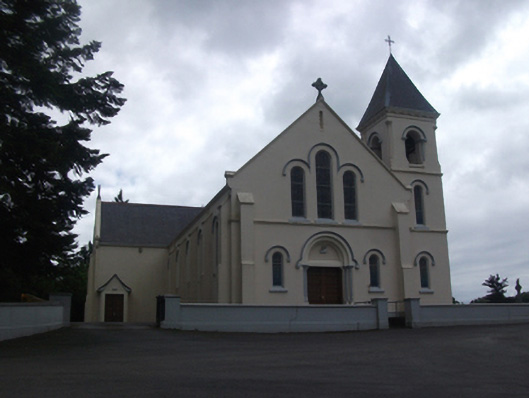 Our Lady of Lourdes Roman Catholic Churchchurch/chapel · 1349 yd
 Callanagh FortFairy fort / earthen ringfort · 1431 yd
 Enclosure in Carnagh UpperEnclosure · 1597 yd
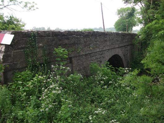 bridgebridge · 1.1 mi
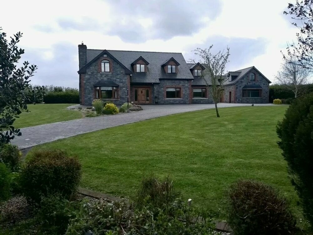 Carnagh LowerMountain / peak · 1.3 mi
 DrumbrucklisMountain / peak · 1.4 mi
 IdicatedCastle, unclassified · 1.4 mi
 Moynagh Upper ForestForest · 3.3 mi
 Oghill Bog WoodWood · 3.5 mi
 Scrabby IslandIslet · 4.2 mi
 Cloone Ho.Castle, unclassified · 4.5 mi
 Red IslandIslet · 4.6 mi