What is recorded here
Towards the bottom of the SE-facing slope of Fairymount Hill. D-shaped grass-covered area (dims 26m NW-SE; c. 15m NE-SW) defined by a gapped earth and stone bank with some bushes (Wth 2-4m; int. H 0.4-0.6m; ext. H 0.2-0.3m) SE-W-NW. There is no visible fosse or entrance, and it is truncated by a NW-SE field bank at NE.
Compiled by: Michael Moore
Date of upload: 24 August 2010
The monument record does not grant public access. Check the route and ask the landowner before entering private land.
- What survives
- Recorded monument
Places near here
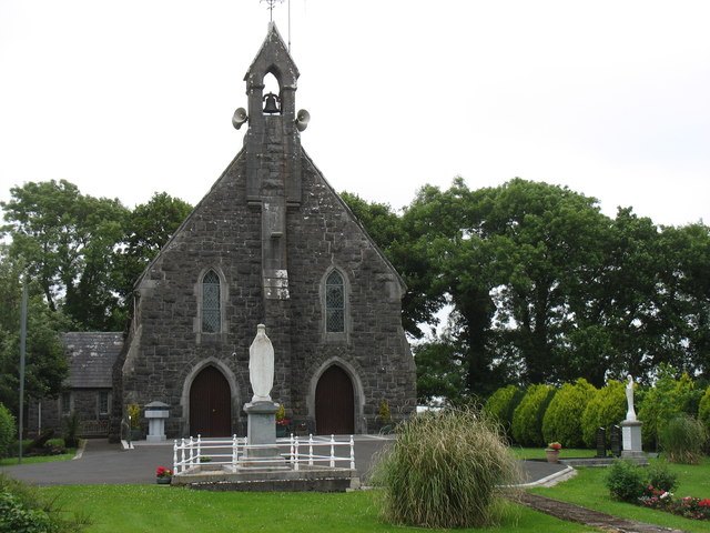 Catholic Church of the Sacred Heartchurch/chapel · 376 yd
 Penitential station in Stonepark (frenchpark By., Fairymount Ed)Penitential station · 734 yd
 Fairymount HillMountain / peak · 759 yd
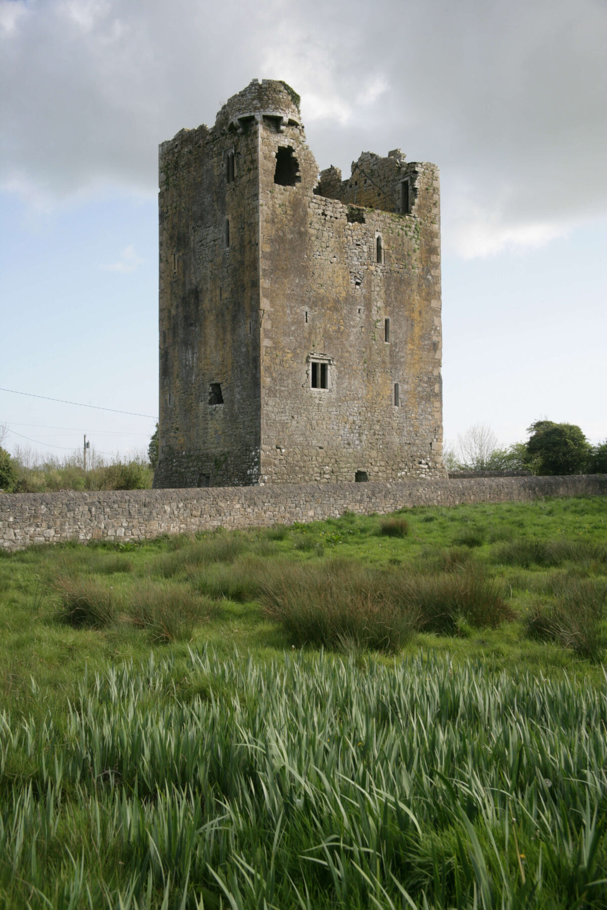 Embanked enclosureFairy fort / earthen ringfort · 1262 yd
 LisdrumneillArchaeological place · 1278 yd
 Druminagh WoodForest · 1.7 mi
 TowerCastle, tower house · 3.5 mi
 Frenchpark Ho.Castle, unclassified · 3.7 mi
 Clonalis HouseMuseum · 4.2 mi
 Square WoodForest · 4.6 mi
 Workhouse MemorialMemorial · 5.2 mi
 Bawn IslandIslet · 5.4 mi