What is recorded here
Mullagha Hill holds a forgotten circular fort, thirty metres across, with a wide eastern gap. It vanished beneath grass but reappeared in 1967 when cereals grew thin over the buried ditch. The fairies did not build it, though people believed so. They built it for themselves, then left it behind. The field gave it back only when rain and growth aligned. What disappears is not lost. It is waiting for the right conditions to show again.
Situated on a SE-facing slope of Mullagha Hill. The cropmark of a circular enclosure (diam. c. 30m) defined by a single fosse with a wide entrance (Wth c. 5m) at E is visible on an oblique aerial photograph (CUCAP: ATC029) from July 1967 when the field was growing cereals. It has not appeared on other aerial images where the field has been under grass.
The above description is derived from the published 'Archaeological Inventory of County Meath' (Dublin: Stationery Office, 1987). In certain instances the entries have been revised and updated in the light of recent research.
Compiled by: Michael Moore
Date of upload: 10 July 2007
Revised: 24 March 2023
CUCAP – Cambridge University Collection of Aerial Photographs. Unit for Landscape Modelling. Department of Geography, University of Cambridge. See:https://www.cambridgeairphots.com
The monument record does not grant public access. Check the route and ask the landowner before entering private land.
- What survives
- Recorded monument
Places near here
 Mullagha HillMountain / peak · 476 yd
 EnclosureEnclosure, large enclosure · 482 yd
 Enclosure in MullaghaEnclosure · 1036 yd
 European YewEuropean Yew · 1.0 mi
 CastleCastle, tower house · 1.5 mi
 Lebanon CedarLebanon Cedar · 1.9 mi
 Old ChurchChurch · 1.9 mi
 Simpson's MountainMountain / peak · 2.0 mi
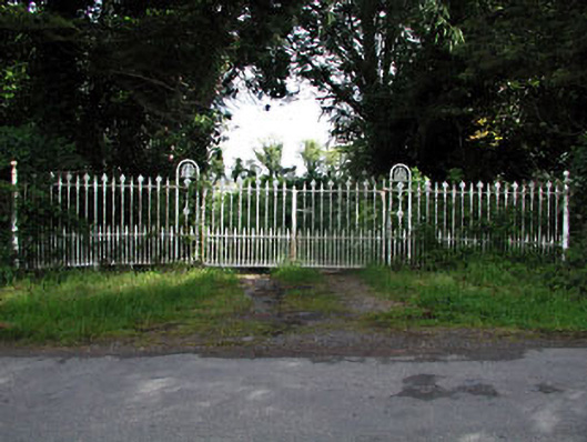 gates/railings/wallsgates/railings/walls · 2.0 mi
 Dunmoe CastleCastle, unclassified · 3.8 mi
 Donaghmore Round TowerHeritage attraction · 4.0 mi
 Pat's Art StudioGallery · 4.6 mi