
What is recorded here
Located towards the bottom of a S-facing slope of Mullagha Hill. A corn mill and Mullagha House are depicted here on the 1836 and 1908 editions of the OS 6-inch map with a millpond on the NE edge of the enclosure. A mill is not mentioned in the appurtenances of Mullagha in the Civil Survey (1656-8) (Simington 1940, 227) and nor is any depicted in the Down Survey (1658) parish map. This is a raised oval area (dims c. 95m N-S; c. 70m E-W) defined by scarp (H 1.2m) with traces of external ditch (max. ext. D 0.4m) ESE-W-N. The enclosure is largely grass-covered but old mill buildings occupy the E edge. The enclosure is demarcated by an overflow channel from the millpond that may be eighteenth or nineteenth century in date.
The above description is derived from the published 'Archaeological Inventory of County Meath' (Dublin: Stationery Office, 1987). In certain instances the entries have been revised and updated in the light of recent research.
Compiled by: Michael Moore
Date of upload: 10 July 2007
Revision: 24 March 2023
Simington, R. C. 1940 The Civil Survey AD 1654-1656. vol. V, County of Meath. Dublin, Stationery Office
The monument record does not grant public access. Check the route and ask the landowner before entering private land.
- What survives
- Recorded monument
Places near here
 Enclosure in MullaghaEnclosure · 647 yd
 Mullagha HillMountain / peak · 949 yd
 European YewEuropean Yew · 1523 yd
 RathcoonEnclosure · 1.3 mi
 CastleCastle, tower house · 1.7 mi
 Old ChurchChurch · 1.8 mi
 Lebanon CedarLebanon Cedar · 1.9 mi
 Simpson's MountainMountain / peak · 2.2 mi
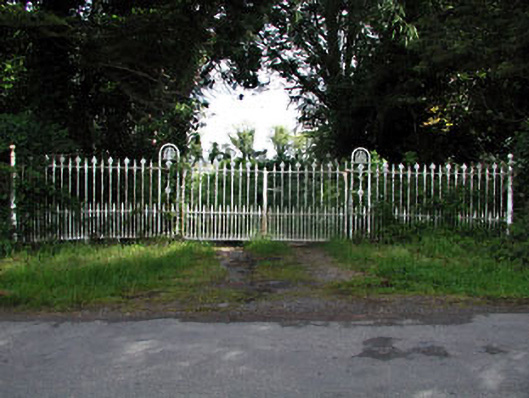 gates/railings/wallsgates/railings/walls · 2.2 mi
 Slane CastleCastle, unclassified · 3.7 mi
 Donaghmore Round TowerHeritage attraction · 3.8 mi
 Pat's Art StudioGallery · 4.4 mi
Other information
Photo: Credit not shown in the picture search · Rights wording not checked; contact us if this picture should be removed