What is recorded here
Mullagh’s fairy fort lost its earth wall to human tools, but the circle remains visible in memory and story. It stood north of the village, marked Fort on old maps, and likely served as a boundary, shrine, or gathering place before the land was changed. The loss is not disappearance; it is a reminder that living people keep placing meaning in the bones of the world.
Marked 'Fort' on OS 1836 and 1876 eds. Situated on relatively level ground just N of Mullagh village. An earlier report (OPW 1969) recorded a slightly raised circular area defined by a low scarp. Site has been levelled.
The above description is derived from the published 'Archaeological Inventory of County Cavan' (Dublin: Stationery Office, 1995). In certain instances the entries have been revised and updated in the light of recent research.
Date of upload/revision: 22 December 2008
A fairy fort or earthen ringfort in Mullagh, likely dating to the early medieval period, is marked as 'Fort' on early Ordnance Survey maps from 1836 and 1876. An earlier report noted a low scarp defining a raised circular area, now largely levelled, with local tradition associating it with fairy lore common to such sites in Ireland.
The monument record does not grant public access. Check the route and ask the landowner before entering private land.
- What survives
- Recorded monument
Places near here
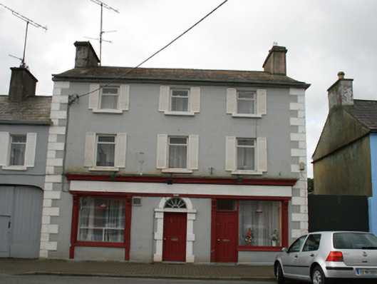 Conaty'shouse · 271 yd
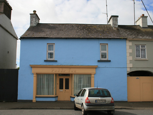 Paddy Foxhouse · 283 yd
 CastleCastle, unclassified · 542 yd
.jpg?width=1280) Ogham stone (present location) in MullaghOgham stone (present location) · 905 yd
Ogham stone (present location) in MullaghOgham stone (present location) · 905 yd Grave YardGraveyard · 1483 yd
 Sally IslandIslet · 1.0 mi
 Crow IslandIslet · 1.2 mi
 Cloghballybeg ForestForest · 1.3 mi
 Sit of Old CastleCastle, unclassified · 1.6 mi
 Cloghbally LowerMountain / peak · 2.0 mi
 Cornaglare or PalmiraMountain / peak · 2.7 mi
 Church in RantavanChurch · 689 yd