What is recorded here
Fairy fort in Muff is a circular grass-covered ringfort on a narrow spur in County Meath, marked by an eroded earthen bank and faint outer fosse. It stands with another rath a short distance south, suggesting a small cluster of occupied or claimed ground rather than a lonely marker. The missing entrance and shallow bank invite imagination about who kept it, when it was kept, and what was lost when the earth softened.
Located just E of the tip of a NW-SE spur. This is a circular grass-covered area (diam. 29m E-W; 28m N-S) that slopes down to the NE. It is defined by an eroded and grass-covered earthen bank (Wth 8m; int. H 0.3m; ext. H 0.6m) with slight traces of an outer fosse (Wth of base 3.5m; ext. D 0.4m). The original entrance is not identified. Rath (ME005-067----) is on an equally high hillock c. 140m to the S.
The above description is derived from the published 'Archaeological Inventory of County Meath' (Dublin: Stationery Office, 1987). In certain instances the entries have been revised and updated in the light of recent research.
Compiled by: Michael Moore
Date of revision: 5 September 2018
The monument record does not grant public access. Check the route and ask the landowner before entering private land.
- What survives
- Recorded monument
Places near here
 LisanarwerFairy fort / earthen ringfort · 196 yd
 St. Patricks StoneCross · 702 yd
 European YewEuropean Yew · 1089 yd
 Gallows HillMountain / peak · 1103 yd
 White WoodWood · 1206 yd
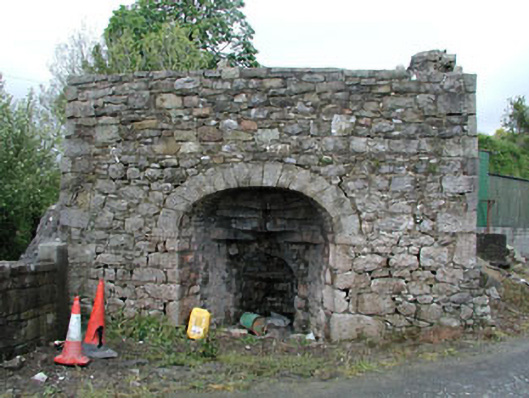 Bridge Farmkiln · 1.0 mi
 Nobber Bridgebridge · 1.1 mi
 MoatCastle, motte and bailey · 1.1 mi
 Nobber GreenwayMemorial · 1.3 mi
 Bawn in Robertstown (kells Lower By.)Bawn · 2.6 mi
 Ugly HillMountain / peak · 2.8 mi
 Owenroe and Moynalty DrainageMemorial · 3.5 mi