What is recorded here
Fortmill and Moyra once held a thirty-metre earthen ring on a gentle pasture slope, visible enough for surveyors to mark it as a fort before human hands levelled it in the 1940s. The earth did not vanish completely, because a faint bank and outer ditch still trace their circular boundary beneath the grass. The fairies kept their fort by refusing to be forgotten, while the villagers changed the shape of the land around them.
On a gentle NNE-facing slope in pasture. Depicted as a circular enclosure with the designation 'Fort' on the 1837 ed. of the OS 6-inch map. The monument and a number of field boundaries in its vicinity were levelled in the 1940s (local information). However, a report in 1976 (SMR file) recorded that the outline of a bank with an external fosse could still be traced enclosing a circular area (diam. c. 30m). Not visible at ground level.
Compiled by: Patrick F. O'Donovan
Date of upload: 26 August 2011
The monument record does not grant public access. Check the route and ask the landowner before entering private land.
- What survives
- Recorded monument
Places near here
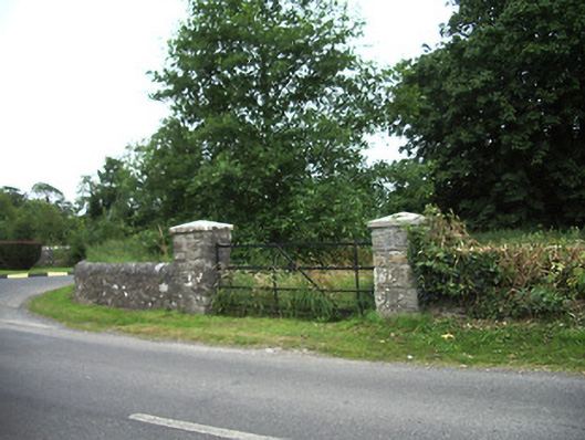 demesne walls/gates/railingsdemesne walls/gates/railings · 704 yd
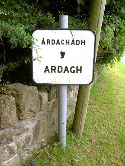 sign postsign post · 798 yd
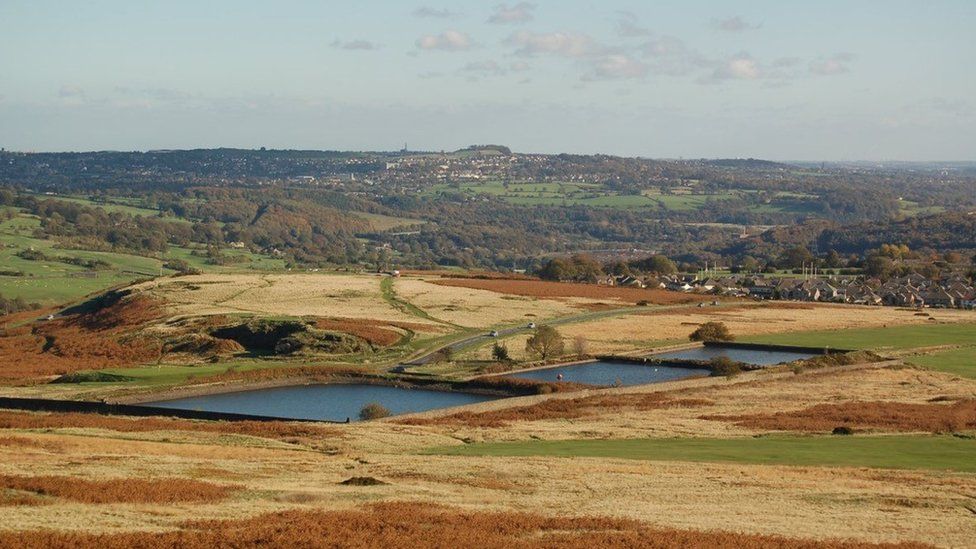 Enclosure in MoorEnclosure · 869 yd
 IndicatedFairy fort / earthen ringfort · 1127 yd
 Ardagh DemesneFort · 1587 yd
 Druming Ho. (in ruins)Castle, unclassified · 1.2 mi
 Oldtown CopseWood · 1.3 mi
 Oldtown DemesneForest · 1.4 mi
 National Famine WayWalking route · 2.7 mi
 Graveyard in Curry (ardagh By., Coolamber Ed)Graveyard · 4.9 mi
 First World War MemorialMemorial · 5.2 mi
 Saint Mel's CathedralCathedral · 5.2 mi