What is recorded here
Fortmill and Moyra share a broken circular scar on a low pasture ridge. Ploughs and time erased the outer banks, yet a steep inner scarp still rises half a metre above the grass. The lost entrance vanished, but the surviving curve suggests a place set apart for living, fearing storms or hiding from others.
On a low ridge in pasture. A report in 1976 (SMR file) indicates that this raised circular area (diam. c. 45m) was enclosed by a low bank of earth and stone, a wide deep intervening fosse and an outer bank. Both banks have been levelled. The rath is defined by a broad scarp (H 0.6-1.4m) The fosse has been infilled but its outline may been traced at SSW (Wth 2m; D 0.2m). The original entrance is not recognisable.
Compiled by: Patrick F. O'Donovan
Date of upload: 17 January 2012
The monument record does not grant public access. Check the route and ask the landowner before entering private land.
- What survives
- Recorded monument
Places near here
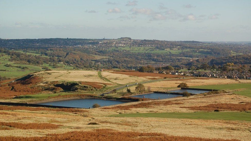 Enclosure in MoorEnclosure · 490 yd
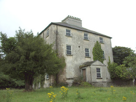 The Rectoryrectory/glebe/vicarage/curate's house · 634 yd
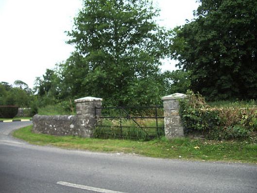 demesne walls/gates/railingsdemesne walls/gates/railings · 653 yd
 IndicatedFairy fort / earthen ringfort · 810 yd
 Ardagh DemesneFort · 1600 yd
 Druming Ho. (in ruins)Castle, unclassified · 1651 yd
 Oldtown CopseWood · 1.6 mi
 Oldtown DemesneForest · 1.7 mi
 National Famine WayWalking route · 2.5 mi
 Graveyard in Curry (ardagh By., Coolamber Ed)Graveyard · 5.0 mi
 First World War MemorialMemorial · 5.4 mi
 Saint Mel's CathedralCathedral · 5.4 mi