What is recorded here
Fairy fort / earthen ringfort in Moynagh Lower is a circular earthwork about forty-two metres across, enclosed by a low bank that still stands best on its eastern side. The rest has blurred into field boundaries or vanished under grass, and the entrance has disappeared entirely. It is the kind of place where human life and fairy tale become indistinguishable: a border drawn in soil, now half-forgotten.
Raised circular area (int. diam. c. 42m) enclosed by a low earthen bank, best preserved from ENE-ESE and elsewhere surviving only as a modified scarp or incorporated into the field boundary. Original entrance not recognisable.
The above description is derived from the published 'Archaeological Inventory of County Cavan' (Dublin: Stationery Office, 1995). In certain instances the entries have been revised and updated in the light of recent research.
Date of upload/revision: 22 December 2008
The monument record does not grant public access. Check the route and ask the landowner before entering private land.
- What survives
- Recorded monument
Places near here
 Moynagh Upper ForestForest · 1289 yd
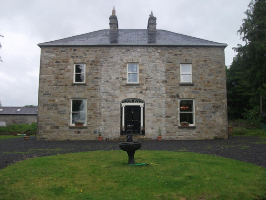 Moydristan Househouse · 1540 yd
 IndicatedFairy fort / earthen ringfort · 1728 yd
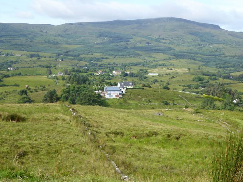 Tony FortArchaeological place · 1.2 mi
 Church in Carrick (clanmahon By.)Church · 1.2 mi
 Carrick RockWood · 1.3 mi
 CarrickabaneMountain / peak · 1.4 mi
 Aghakilmore LowerMountain / peak · 1.5 mi
 CastleCastle, motte · 1.7 mi
 Gull IslandIslet · 1.9 mi
 Crane IslandIslet · 1.9 mi
 IdicatedCastle, unclassified · 2.4 mi