What is recorded here
Fairy forts are not fantasy. They are ancient Irish farmsteads, often circular, with ditches, banks and hidden entrances. The name came later. People saw empty rings in fields and invented life inside them. That is human memory doing what it does. It shapes what it cannot explain.
On a gentle rise in low-lying marshy pasture, immediately N of a small stream. Overlooked by higher ground on all sides. Hachured on the 1840 and 1916 eds. OS 6-inch maps. A bivallate oval rath (est. 66m E-W; 47m N-S) comprising a raised internal area (28m N-S) defined by an inner bank (Wth 4.5m; int. H 0.3-1m; ext. H 2-2.3m) and scarp, a flat-based fosse (Wth 5.5-8m), and an outer bank (Wth 4-6.5m; int. H 0.3-2.6m). To the S the inner bank has been reduced to a scarp and the fosse and outer ditch peter out, and based on orthophotography the monument appears to be truncated here by a post-medieval field drain carrying a small stream. A gap through the inner (Wth 3.1m) and outer (Wth 2m) banks at NNW may be original, although no trace of a causeway is evident. The interior is heavily overgrown, but in the SW sector a low mound is visible, possibly representing a collapsed building. A small drystone structure of probable post-medieval date has been built into the fabric of the outer bank at N.
Compiled by: Mary Tunney and Eve Campbell
Date of upload: 5 September 2022
The monument record does not grant public access. Check the route and ask the landowner before entering private land.
- What survives
- Recorded monument
Places near here
 Enclosure in Moymore NorthEnclosure · 339 yd
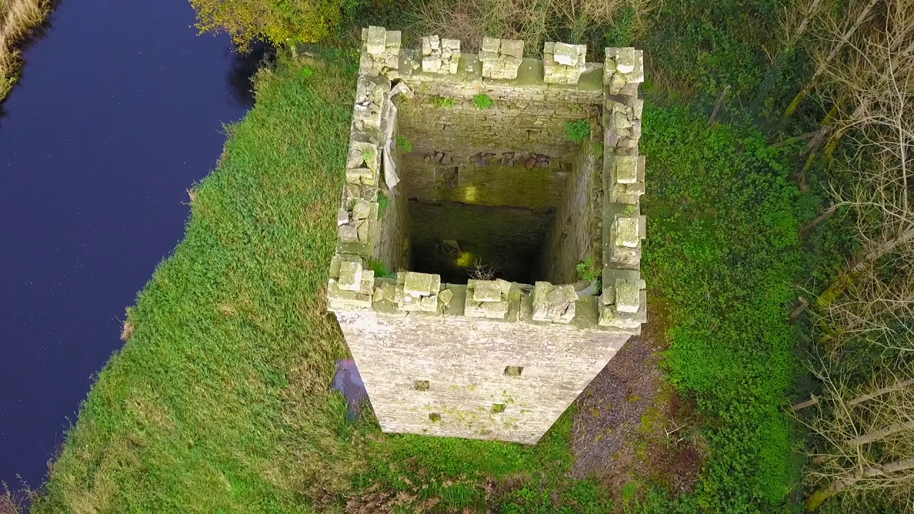 Enclosure in BallyfaudeenEnclosure · 705 yd
 Church in KillaspuglonaneChurch · 1.3 mi
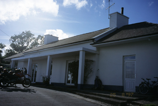 Sandfield Lodgehouse · 1.5 mi
 Site of Tullamore CastleCastle, unclassified · 1.5 mi
 Dough CastleRuins · 1.9 mi
 Doolin Cliff WalkWalking route · 2.6 mi
 Lahinch BeachBeach / strand · 2.6 mi
 Kilmanahn GraveyardRuins · 2.6 mi
 Fisherstreet PotCave · 3.0 mi
 Famine MemorialMemorial · 3.0 mi
 John P. Holland CentreMuseum · 3.0 mi