
What is recorded here
Enclosure in Moymore North is a subcircular stone ring in a working farmyard, County Clare, hachured on maps since 1840. Its thin wall stands half a metre to one metre high, bruised by collapsed rock and overgrown at the edges, while two modern gaps break the circle to the east and south-east. A shed leans against the north-east perimeter, the nearby house sits empty, and a rath waits two hundred and sixty metres away. The place has survived because people kept using the land around it, not because they stopped touching the old line.
In a farmyard in undulating marshy pasture, on a S-facing slope with clear views to the S. Hachured on the 1840 and 1916 eds. OS 6-inch maps. A subcircular enclosure (int. dims. 24.5m N-S; 25.5 E-W) defined by a single stone wall (Wth 0.3m; int. H 0.5-1m; ext. H 0.8-1m) with a bank of collapsed material around its base (Wth 1.5m). Two modern gaps are located at E and SSE and the wall is partly overgrown at W and S. The nearby house is unoccupied but the farmyard is still in use. A shed has been built against the perimeter at NE.
A rath (CL015-003---) is located c. 260m to the E.
Compiled by: Mary Tunney and Eve Campbell
Date of upload: 5 September 2022
The monument record does not grant public access. Check the route and ask the landowner before entering private land.
- What survives
- Recorded monument
Places near here
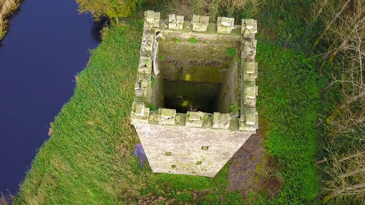 Enclosure in BallyfaudeenEnclosure · 783 yd
 Enclosure in Rannagh (killaspuglonane Ed)Enclosure · 1302 yd
 Church in KillaspuglonaneChurch · 1.4 mi
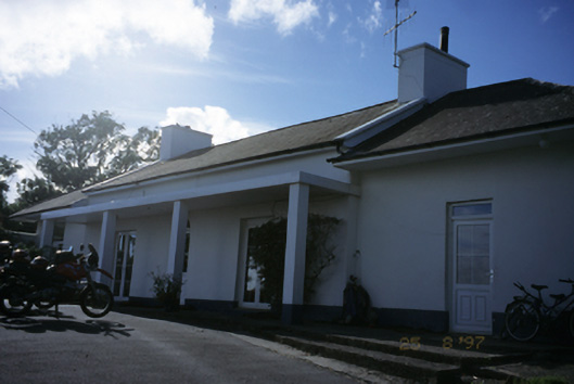 Sandfield Lodgehouse · 1.4 mi
 Site of Tullamore CastleCastle, unclassified · 1.7 mi
 Dough CastleRuins · 2.0 mi
 Doolin Cliff WalkWalking route · 2.4 mi
 Lahinch BeachBeach / strand · 2.6 mi
 Kilmanahn GraveyardRuins · 2.7 mi
 Cliffs of Moher Visitor CentreVisitor information · 2.8 mi
 Fisherstreet PotCave · 2.9 mi
 John P. Holland CentreMuseum · 2.9 mi
Other information
Photo: Credit not shown in the picture search · Rights wording not checked; contact us if this picture should be removed