
What is recorded here
Killaspuglonane Ed still marks a narrow oval rise in Rannagh pasture, wide enough for a small household and long enough to exclude half a village. It appeared as a circular enclosure on the 1840 map, yet by 1998 reeds had swallowed every wall, ditch or gate the drawing implied. The land remembers shape even when human hands have forgotten the name.
On a slight rise in pasture. Hachured as a circular enclosure on the 1840 OS 6-inch map. On inspection in 1998 a clear rise (c. 40m N-S; 25m E-W) in a reed-covered field was noted but there were no visible remains of any defining features at ground level. The siting was typical of a rath or cashel.
Compiled by: Mary Tunney
Date of upload: 10 July 2023
The monument record does not grant public access. Check the route and ask the landowner before entering private land.
- What survives
- Recorded monument
Places near here
 LisfurnelFairy fort / earthen ringfort · 427 yd
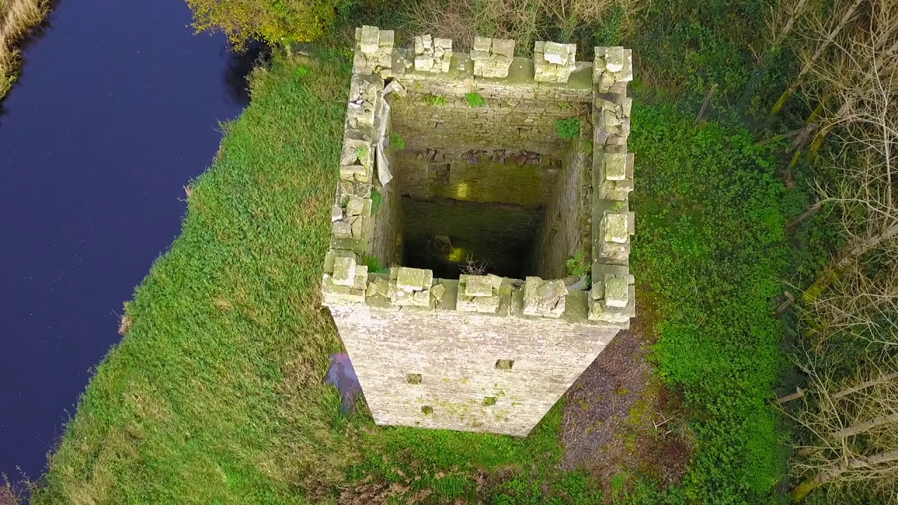 Enclosure in BallyfaudeenEnclosure · 972 yd
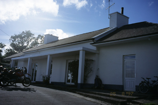 Sandfield Lodgehouse · 1196 yd
 Church in KillaspuglonaneChurch · 1.0 mi
 Dough CastleRuins · 1.4 mi
 Lahinch BeachBeach / strand · 1.9 mi
 Site of Tullamore CastleCastle, unclassified · 2.0 mi
 John P. Holland CentreMuseum · 2.2 mi
 Kilmanahn GraveyardRuins · 2.4 mi
 Bridget's Well;St Bridget's WellSpring · 2.6 mi
 Cliffs of Moher Visitor CentreVisitor information · 2.6 mi
 Doolin Cliff WalkWalking route · 2.6 mi
Other information
Photo: Credit not shown in the picture search · Rights wording not checked; contact us if this picture should be removed