What is recorded here
No visible trace remains, but the lost ring stood on the slopes of Corrin mountain, watching Tralee Bay. People built a circular bank there, perhaps to keep out rain, thieves or unwanted thoughts. The land took the fort back, erasing the wall while leaving behind a name that still points to human pride and temporary resistance.
This site, marked on the OS maps as a single ring of hachures, was located on the NW facing slopes of Corrin mountain, overlooking the coastal strip that borders Tralee Bay. It was titled 'Fort' on the Fair Plan, and on an aerial photograph taken in 1949 (Ministry of Defence, V. 160/03627) it appears as a circular enclosure defined by a single bank or wall. The land has recently been reclaimed and there is no visible trace of any feature.
The above description is derived from J. Cuppage, ‘Corca Dhuibhne. Dingle Peninsula archaeological survey. Ballyferriter. Oidhreacht Chorca Dhuibhne’ (1986), no. 726. In certain instances the entries have been revised and updated in the light of recent research.
Date of upload: 7 August 2013
This remains an important historical record, but the official description says the monument is no longer visible or has been destroyed. The monument record does not grant public access. Check the route and ask the landowner before entering private land.
- What survives
- No visible remains or recorded as destroyed
Places near here
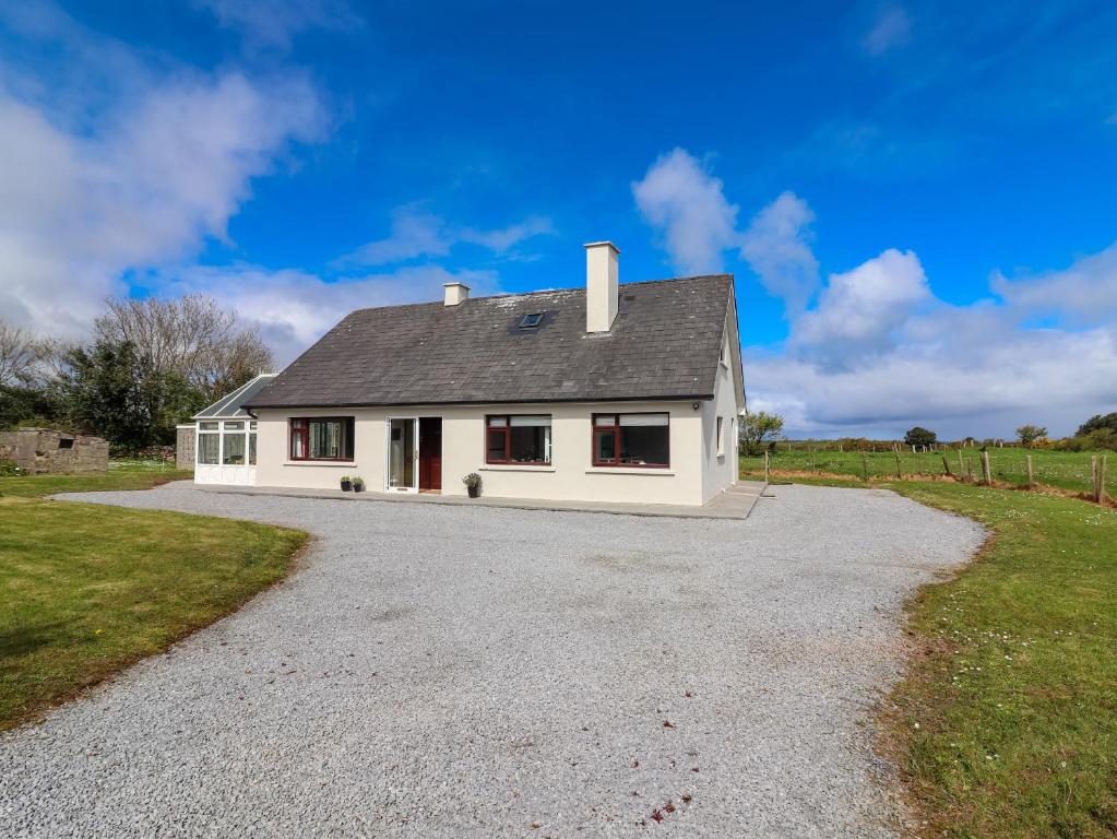 Man-made underground passage in Camp (corkaguiny By.)Man-made underground passage · 1401 yd
 Saint Mary's Catholic Churchchurch/chapel · 1487 yd
 Graveyard in Baile An Chnocáin (tc An Cnoc Glas)Graveyard · 1618 yd
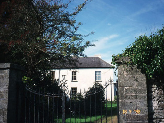 The Old Rectoryrectory/glebe/vicarage/curate's house · 1632 yd
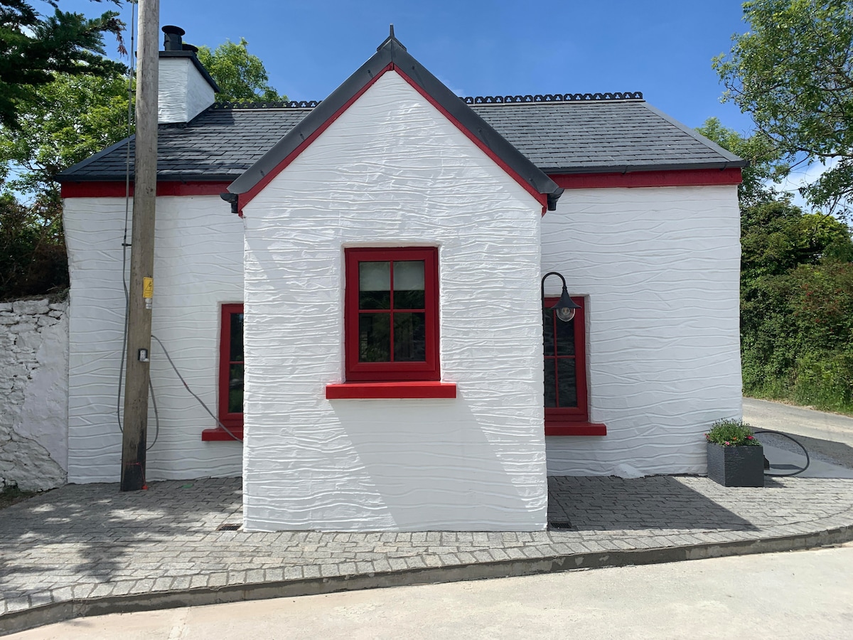 Hut site in FoilatrisnigHut site · 1681 yd
 Site of Camp CastleCastle, unclassified · 1712 yd
 CorrinMountain / peak · 1726 yd
 Faisr's GraveArchaeological place · 1746 yd
 CastleCastle, unclassified · 1.4 mi
 KnockbegMountain / peak · 2.3 mi
 Samphire Island LittleIslet · 4.1 mi
 Samphire IslandIslet · 4.5 mi